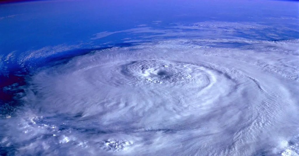
Advanced Earth Science: Weather Modeling involves the use of sophisticated mathematical and computational techniques to simulate and predict atmospheric conditions. It integrates data from satellites, weather stations, and other sources to create models that forecast weather patterns, track storms, and analyze climate trends. This field is crucial for understanding complex interactions within Earth’s atmosphere, improving prediction accuracy, and informing decisions in agriculture, disaster management, and environmental policy.
Advanced Earth Science: Weather Modeling
Advanced Earth Science: Weather Modeling involves the use of sophisticated mathematical and computational techniques to simulate and predict atmospheric conditions. It integrates data from satellites, weather stations, and other sources to create models that forecast weather patterns, track storms, and analyze climate trends. This field is crucial for understanding complex interactions within Earth’s atmosphere, improving prediction accuracy, and informing decisions in agriculture, disaster management, and environmental policy.
💡 Key Takeaways
- Understand how atmospheric dynamics are modeled to forecast weather.
- Learn how satellite and weather-station data are integrated into models (data assimilation).
- Explore numerical weather prediction, grid-based methods, and parameterization of subgrid processes.
- See how forecasts are verified and uncertainty communicated, including ensemble forecasting and storm tracking.
❓ Frequently Asked Questions
What is weather modeling?
The use of mathematical equations and computer simulations to represent the atmosphere and forecast future weather conditions.
What are the main data sources used in weather modeling?
Satellites, surface weather stations, radiosondes, radar, aircraft, and ocean buoys provide observations; reanalysis data may also be used.
What is numerical weather prediction (NWP) and how does it work?
NWP solves the equations of fluid dynamics and thermodynamics on a 3D grid, ingesting current observations and integrating forward in time to forecast conditions.
What is data assimilation and why is it important?
Data assimilation blends real observations with model forecasts to produce improved initial conditions for the next forecast run.
What is ensemble forecasting and why is it used?
It runs multiple forecasts with varied initial conditions or model configurations to estimate forecast uncertainty and outline possible weather scenarios.