"Advanced Geography (Puzzles for All Ages)" refers to a collection of challenging and engaging puzzles designed to test and expand geographical knowledge for individuals of various age groups. These puzzles may include map-based challenges, country identification, capital cities, landmarks, and other geography-related topics. The phrase suggests that while the puzzles are advanced in content, they are crafted to be accessible and enjoyable for both children and adults, promoting learning through interactive fun.
Advanced Geography
"Advanced Geography (Puzzles for All Ages)" refers to a collection of challenging and engaging puzzles designed to test and expand geographical knowledge for individuals of various age groups. These puzzles may include map-based challenges, country identification, capital cities, landmarks, and other geography-related topics. The phrase suggests that while the puzzles are advanced in content, they are crafted to be accessible and enjoyable for both children and adults, promoting learning through interactive fun.
💡 Key Takeaways
- Understand how GIS and spatial data are used to analyze geographic patterns.
- Learn how map projections affect area, distance, and shape on maps.
- Explore how physical geography (landforms, climate) interacts with human geography (population, urbanization) across regions.
- Develop basic skills in reading satellite imagery and other remote sensing data to monitor environmental change.
❓ Frequently Asked Questions
What is spatial data and how is it used in geography?
Spatial data describes the location and geometry of features on the Earth’s surface (points, lines, polygons) and is used with attribute data to analyze patterns and relationships across space.
What is a Geographic Information System (GIS) and what can you do with it?
A GIS is a software system for capturing, storing, analyzing, and visualizing geographic data; you can create maps, perform spatial analyses (e.g., buffering, overlay, proximity), and support decision making.
How do map projections work and why do they distort?
Map projections transform the Earth’s curved surface to a flat plane. Because flattening a sphere cannot preserve all properties, every projection distorts at least one aspect (shape, area, distance, or direction) depending on its purpose.
What is remote sensing and what types of data does it provide?
Remote sensing collects information about the Earth from a distance using sensors on satellites or aircraft. Common data types include optical imagery (multispectral), radar (SAR), and thermal infrared.
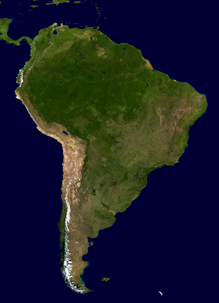
What is the difference between physical geography and human geography?
Physical geography studies natural features and processes (landforms, climate, soils, ecosystems), while human geography examines human activities and their relationships to space (population, culture, economics, urbanization).