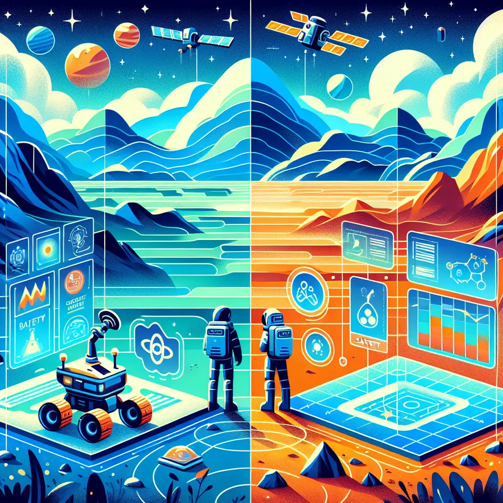
Advanced GNC (Guidance, Navigation, and Control) integrates cutting-edge techniques like relative navigation, SLAM (Simultaneous Localization and Mapping), and terrain mapping to enable autonomous vehicles or spacecraft to accurately determine their position and orientation. Relative navigation focuses on tracking movement with respect to other objects, while SLAM builds real-time maps of unknown environments. Terrain mapping enhances situational awareness by creating detailed 3D models, collectively improving navigation precision and mission safety in complex scenarios.
Advanced GNC: Relative Navigation, SLAM, and Terrain Mapping
Advanced GNC (Guidance, Navigation, and Control) integrates cutting-edge techniques like relative navigation, SLAM (Simultaneous Localization and Mapping), and terrain mapping to enable autonomous vehicles or spacecraft to accurately determine their position and orientation. Relative navigation focuses on tracking movement with respect to other objects, while SLAM builds real-time maps of unknown environments. Terrain mapping enhances situational awareness by creating detailed 3D models, collectively improving navigation precision and mission safety in complex scenarios.

💡 Key Takeaways
- Understand how relative navigation estimates motion and position relative to a reference frame, enabling precise control when GPS is limited.
- Grasp SLAM concepts: simultaneous localization and mapping to build a map while tracking pose in GPS-denied environments, with sensor fusion to reduce drift.
- Learn terrain mapping techniques (3D terrain reconstruction and digital terrain models) for safe trajectory planning and hazard avoidance.
- Identify typical sensors and algorithms used in advanced GNC for these tasks (e.g., LiDAR, cameras, IMU, radar; EKF/UKF, graph optimization).
- Understand how integrating relative navigation, SLAM, and terrain mapping enhances autonomy for spacecraft and aircraft in American space exploration and aviation.
❓ Frequently Asked Questions
What is advanced GNC and how does it differ from basic GNC?
Advanced GNC uses modern techniques like relative navigation, SLAM, and terrain mapping to estimate pose and control autonomous vehicles, offering higher accuracy and autonomy than traditional GNC methods.
What is relative navigation in space missions?
Relative navigation estimates a vehicle's position and orientation relative to another reference (e.g., another spacecraft or a celestial body) to enable docking, formation flying, or precise maneuvers.
What is SLAM and why is it useful in autonomous navigation?
SLAM stands for Simultaneous Localization and Mapping. It builds a map of the environment while tracking the vehicle's pose within it, enabling navigation when GPS or external references are unavailable.
What is terrain mapping and why is it important for autonomous vehicles or spacecraft?
Terrain mapping creates a 3D representation of surface features to support safe landings, path planning, and hazard avoidance, and to improve orientation relative to the terrain.
How do these techniques work together in an Advanced GNC system?
Data from relative navigation, SLAM maps, and terrain mapping is fused with other sensors to compute robust pose, trajectory, and control commands for autonomous operations.