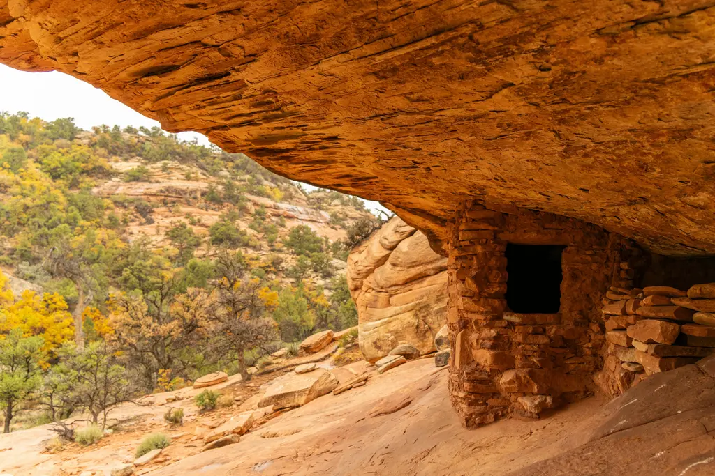
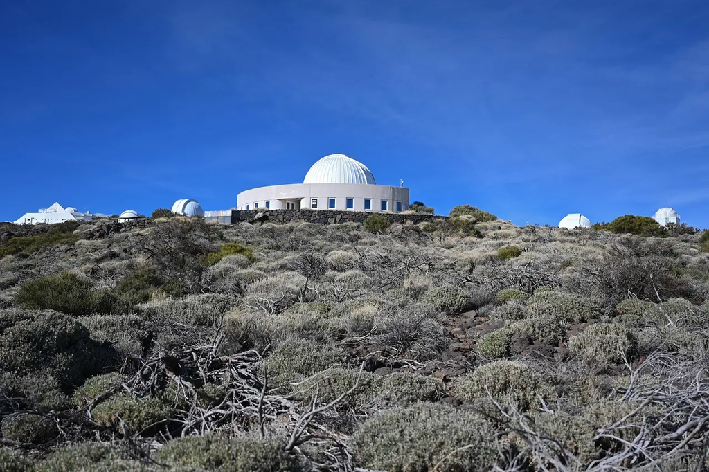
Drones, LiDAR, and Digital Twins are advanced technologies revolutionizing heritage documentation. Drones provide aerial imagery and access to hard-to-reach sites, while LiDAR captures precise 3D measurements of structures and landscapes. Digital Twins use this data to create interactive, virtual replicas of heritage sites, enabling detailed analysis, preservation planning, and public engagement. Together, these tools enhance accuracy, efficiency, and accessibility in conserving and studying cultural heritage.
Drones, LiDAR, and Digital Twins for Heritage Documentation
Drones, LiDAR, and Digital Twins are advanced technologies revolutionizing heritage documentation. Drones provide aerial imagery and access to hard-to-reach sites, while LiDAR captures precise 3D measurements of structures and landscapes. Digital Twins use this data to create interactive, virtual replicas of heritage sites, enabling detailed analysis, preservation planning, and public engagement. Together, these tools enhance accuracy, efficiency, and accessibility in conserving and studying cultural heritage.
💡 Key Takeaways
- How drones capture high-resolution aerial imagery of iconic landmarks and hard-to-reach sites.
- How LiDAR provides precise 3D measurements for structures and landscapes.
- How Digital Twins combine drone and LiDAR data to create interactive, virtual models of heritage sites.
- How these tools support accurate documentation, conservation planning, and public engagement.
- How to manage data ethically, safely, and with good provenance in heritage projects.
❓ Frequently Asked Questions
What are drones used for in heritage documentation?
Drones capture high-resolution aerial imagery and video and reach inaccessible parts of sites, enabling broad surveys and detailed rooftop or vertical views.
What is LiDAR and how is it different from regular photography?
LiDAR uses laser pulses to measure distances and create precise 3D point clouds of structures and terrain, providing accurate shape and topography that photos alone cannot.
What is a digital twin in the context of heritage sites?
A digital twin is an interactive virtual replica of a real site built from imagery and LiDAR data, allowing exploration, analysis, and preservation planning.
How do drones, LiDAR, and digital twins work together on a project?
Drones collect imagery; LiDAR adds accurate geometry; software combines data into a digital twin for immersive viewing, documentation, and conservation decisions.