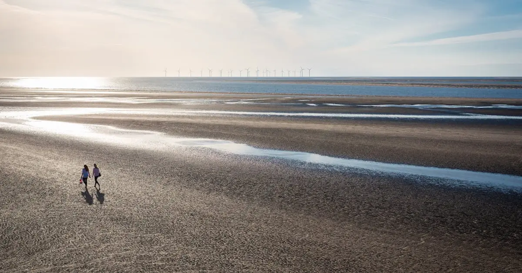
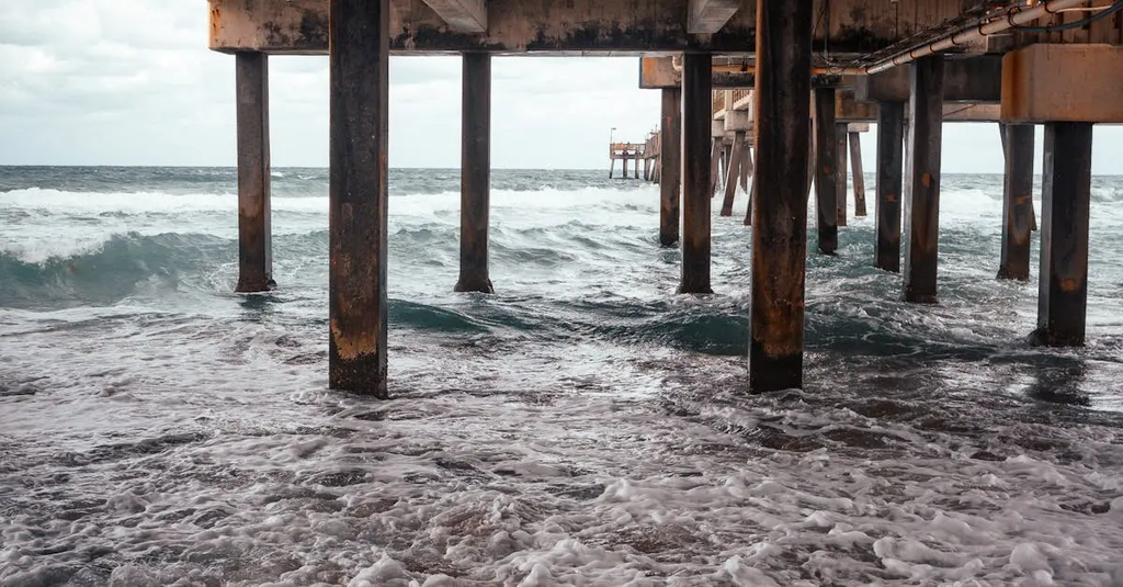
Dynamic shoreline modelling under sea-level rise scenarios involves using computational models to predict how coastlines will respond to increasing sea levels. These models account for factors like sediment transport, wave action, and erosion to simulate future shoreline positions. By incorporating various sea-level rise projections, dynamic modelling helps identify areas at risk of flooding or land loss, supporting coastal management and adaptation strategies to mitigate potential impacts on infrastructure, ecosystems, and communities.
Dynamic shoreline modelling under sea-level rise scenarios
Dynamic shoreline modelling under sea-level rise scenarios involves using computational models to predict how coastlines will respond to increasing sea levels. These models account for factors like sediment transport, wave action, and erosion to simulate future shoreline positions. By incorporating various sea-level rise projections, dynamic modelling helps identify areas at risk of flooding or land loss, supporting coastal management and adaptation strategies to mitigate potential impacts on infrastructure, ecosystems, and communities.
💡 Key Takeaways
- Understand how sea-level rise drives shoreline change through erosion, sediment transport and deposition.
- Learn how computational shoreline models simulate waves, tides and sediment dynamics to predict future coastlines.
- Explore UK-specific factors such as sediment supply, coastal defenses and climate scenarios that influence model predictions.
- Interpret model outputs and uncertainties to compare alternative shoreline futures for UK coasts.
- See how shoreline modelling informs coastal management decisions and policy in the UK.
❓ Frequently Asked Questions
What is dynamic shoreline modelling under sea-level rise?
A computing approach that predicts how coastlines move and change over time as sea levels rise, by simulating coastal processes (sediment transport, wave action, erosion) and their interactions.
What factors are usually included in these models?
Sediment transport, wave energy and action, erosion and deposition, shoreline morphology (beaches, dunes, cliffs), tides, and sea-level rise scenarios.
What is a sea-level rise scenario?
A projected path of future sea level based on climate models and emissions assumptions; models run under different scenarios to explore possible shoreline changes.
What are common limitations of these models?
Uncertainty in input data (sediment supply, coastal morphology), simplifications of complex processes, resolution limits, and challenges in validating long-term predictions, especially along varied UK coastlines.