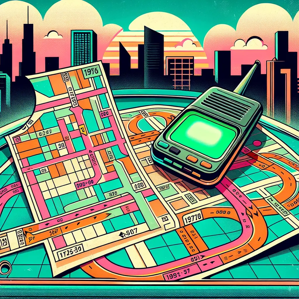
Early GPS and MapQuest printouts refer to the initial stages of digital navigation, when users relied on basic GPS devices or printed directions from websites like MapQuest. Before smartphones and real-time apps, travelers would enter their destination online, print step-by-step instructions, and use them as guides. These printouts often included maps and written directions, serving as essential tools for road trips and unfamiliar journeys.
Early GPS & MapQuest Printouts
Early GPS and MapQuest printouts refer to the initial stages of digital navigation, when users relied on basic GPS devices or printed directions from websites like MapQuest. Before smartphones and real-time apps, travelers would enter their destination online, print step-by-step instructions, and use them as guides. These printouts often included maps and written directions, serving as essential tools for road trips and unfamiliar journeys.
💡 Key Takeaways
- Understand how early GPS devices and MapQuest printouts shaped trip planning before smartphones.
- Learn how printed, step-by-step directions were generated, printed, and followed.
- Recognize the limitations of pre-smartphone navigation, such as no real-time traffic updates or live rerouting.
- Compare nostalgia-era navigation habits with modern apps to see how technology changed map-reading skills and device dependence.
❓ Frequently Asked Questions
What was MapQuest printout navigation?
MapQuest was an online mapping service (1990s–2000s) that allowed you to plan a route and print step-by-step directions to use without an internet connection.
How did early GPS devices work?
Standalone GPS units used satellite signals to calculate routes and provide turn-by-turn directions, often with voice prompts, without needing a smartphone or data connection.
What were the limitations of early GPS/MapQuest printouts?
They lacked real-time traffic updates and automatic rerouting; printouts could become outdated, and maps needed manual updates or replacements.
Why is this era nostalgic for travelers?
It captures the transition from paper maps and offline devices to digital navigation, often with bulky hardware, small screens, and the charm of pre-smartphone travel.