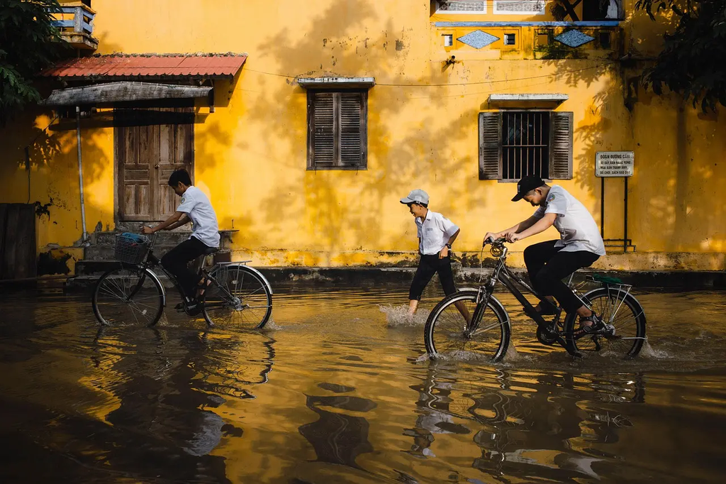
Hydrometeorology is the study of the transfer of water and energy between the land surface and the atmosphere, focusing on precipitation, evaporation, and runoff. Flood forecasting uses hydrometeorological data, such as rainfall, river levels, and weather patterns, to predict when and where floods may occur. This helps authorities prepare and respond to potential flooding, reducing risks to lives and property by enabling timely warnings and mitigation measures.
Hydrometeorology and Flood Forecasting
Hydrometeorology is the study of the transfer of water and energy between the land surface and the atmosphere, focusing on precipitation, evaporation, and runoff. Flood forecasting uses hydrometeorological data, such as rainfall, river levels, and weather patterns, to predict when and where floods may occur. This helps authorities prepare and respond to potential flooding, reducing risks to lives and property by enabling timely warnings and mitigation measures.
💡 Key Takeaways
- Grasp how water and energy move between land and atmosphere to drive precipitation, evaporation, and runoff.
- Identify the key hydrometeorological data used in flood forecasting, such as rainfall, river levels, and weather patterns.
- Understand basic flood forecasting methods that convert hydrometeorological data into flood predictions and forecast timelines.
- Recognize how forecast uncertainty is communicated and how forecasts support risk communication, warnings, and decision-making.
❓ Frequently Asked Questions
What is hydrometeorology?
Hydrometeorology studies how water and energy move between the land and atmosphere, focusing on precipitation, evaporation, and runoff to understand and forecast weather-related hydrological events.
What data are used in flood forecasting?
Key data include rainfall amounts and intensity, river or stream levels (or discharge), soil moisture, evaporation estimates, and weather forecasts or patterns.
How does rainfall lead to flooding?
Heavy or prolonged rainfall can overwhelm the land's ability to absorb water and the drainage system, causing runoff and rising rivers that lead to floods.
What is the difference between hydrometeorology and meteorology?
Meteorology studies atmospheric weather processes in general, while hydrometeorology focuses on the water cycle between the atmosphere and land and its role in floods and related hazards.
What is flood forecasting and why is it important?
Flood forecasting uses hydrometeorological data and models to predict when and where floods may occur, providing warnings and allowing communities to prepare and reduce impact.