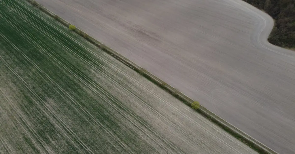
Land use patterns in the UK are characterized by a mix of urban areas, arable farmland, pasture, and woodland. Agricultural regions vary, with arable farming dominating the fertile lowlands of eastern and southern England, while livestock farming is prevalent in the wetter, upland areas of Scotland, Wales, and Northern Ireland. Urbanization and industrial development have influenced land distribution, but agriculture remains a significant part of the rural landscape.
Land use patterns and agricultural regions of the UK
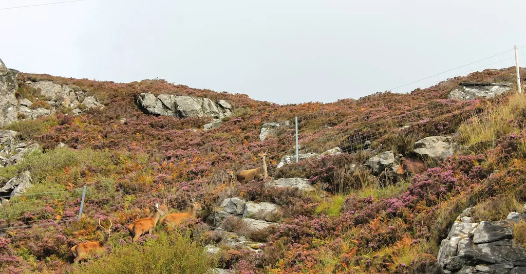
Land use patterns in the UK are characterized by a mix of urban areas, arable farmland, pasture, and woodland. Agricultural regions vary, with arable farming dominating the fertile lowlands of eastern and southern England, while livestock farming is prevalent in the wetter, upland areas of Scotland, Wales, and Northern Ireland. Urbanization and industrial development have influenced land distribution, but agriculture remains a significant part of the rural landscape.
💡 Key Takeaways
- Understand the UK’s main land-use types (urban areas, arable farmland, pasture and woodland) and where you’d typically find them.
- Identify regions where arable farming dominates, especially the fertile lowlands of eastern and southern England, and why this occurs.
- Describe why livestock farming is common in Scotland’s wetter, upland areas and how terrain influences farming choices.
- Explain how geography, climate and soil conditions shape agricultural patterns and land use across the UK.
❓ Frequently Asked Questions
What are the main land use categories in the UK?
Urban areas, arable farmland, pasture for grazing, and woodland are the key land uses. These reflect cities, crop fields, grazing lands, and forests.
Which regions are dominated by arable farming, and why?
The fertile lowlands of eastern and southern England are dominated by arable farming due to rich soils, mild climates, and proximity to markets for crops like cereals and sugar beet.
Where is livestock farming most common in the UK, and why?
Livestock farming is prevalent in wetter, upland areas—especially Scotland—where abundant pasture and rainfall support grazing and meat/dairy production.
How do climate and topography influence UK agricultural patterns?
Climate (rainfall and temperature) and terrain determine where crops can be grown vs. where animals graze, creating arable lowlands and pastoral uplands across the country.