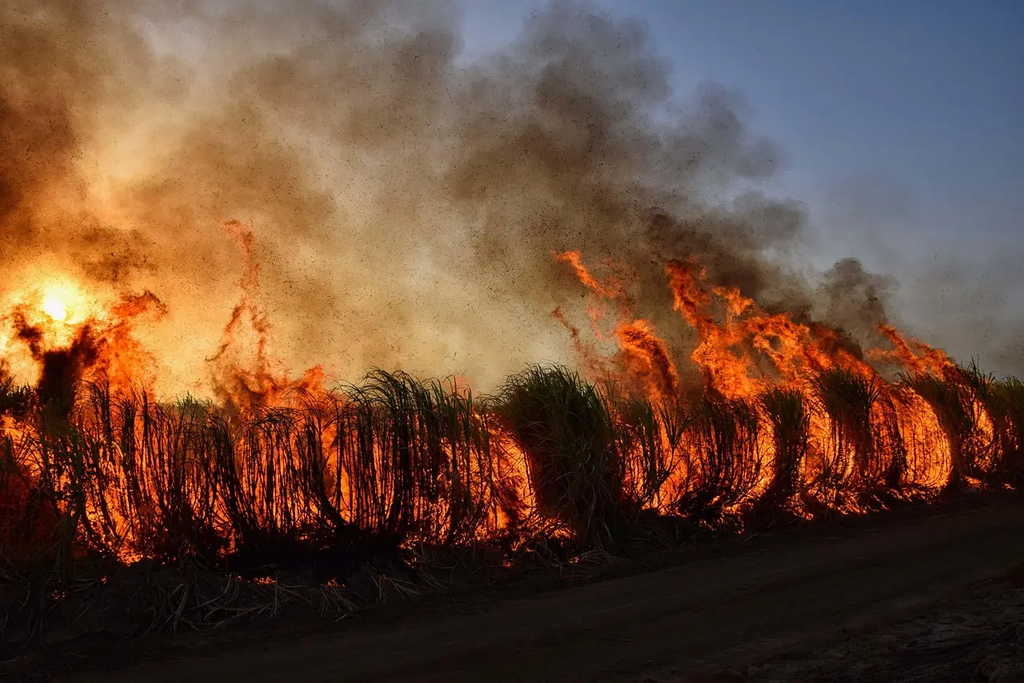
Landslide susceptibility modeling after wildfires involves assessing the increased risk of landslides in areas recently affected by fire. Wildfires can remove vegetation and alter soil properties, making slopes more prone to erosion and failure during rainfall. This modeling uses data such as topography, soil type, rainfall, and burn severity to predict where landslides are likely to occur, helping guide hazard mitigation and land management decisions in post-fire landscapes.
Landslide Susceptibility Modeling After Wildfires
Landslide susceptibility modeling after wildfires involves assessing the increased risk of landslides in areas recently affected by fire. Wildfires can remove vegetation and alter soil properties, making slopes more prone to erosion and failure during rainfall. This modeling uses data such as topography, soil type, rainfall, and burn severity to predict where landslides are likely to occur, helping guide hazard mitigation and land management decisions in post-fire landscapes.
💡 Key Takeaways
- Understand how wildfires increase landslide risk by removing vegetation and altering soil properties after fire.
- Identify key data inputs for post-fire landslide models, including topography, burn severity, rainfall, soils, and vegetation recovery.
- Explain how slope, drainage, and rainfall influence debris flow and slope failure after wildfires.
- Describe common modeling approaches (statistical, machine learning, and physically based) and how to interpret their outputs for hazard planning.
❓ Frequently Asked Questions
What is landslide susceptibility modeling after wildfires?
A method to estimate where landslides are more likely to occur in areas recently burned, by analyzing factors that influence slope stability such as terrain, soil, vegetation loss, and rainfall.
Why does wildfire increase landslide risk?
Wildfires remove vegetation that protects soil, can change soil properties and hydrology, and leave soils more prone to erosion and failure during rain events.
What kinds of data do these models use?
Topography (slope, aspect, curvature), burn severity, soil properties, rainfall and hydrological data, vegetation indices, land cover, and drainage networks.
How are these models evaluated and used in planning?
Models are validated against known landslide occurrences to create relative susceptibility maps; planners use them to prioritize monitoring, mitigation, and land-use decisions. They indicate risk, not certainty.
What are limitations of landslide susceptibility models after wildfires?
Uncertainty from data quality and post-fire conditions, rainfall variability, and model assumptions; results depend on data and methods and do not guarantee a landslide will occur.