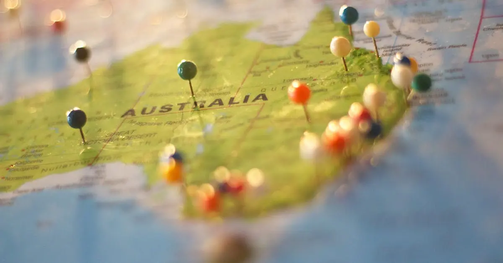
Maps & Navigation: Foundations & Key Terms+50 
"Maps & Navigation: Foundations & Key Terms" refers to the essential concepts and vocabulary needed to understand how maps represent geographic spaces and how navigation is performed using these tools. It covers the basics of map types, scales, symbols, coordinates, and orientation, as well as navigation methods such as compass use, GPS, and route planning. Mastery of these foundations and terms is crucial for effective spatial understanding and wayfinding.
Maps & Navigation: Foundations & Key Terms+50
"Maps & Navigation: Foundations & Key Terms" refers to the essential concepts and vocabulary needed to understand how maps represent geographic spaces and how navigation is performed using these tools. It covers the basics of map types, scales, symbols, coordinates, and orientation, as well as navigation methods such as compass use, GPS, and route planning. Mastery of these foundations and terms is crucial for effective spatial understanding and wayfinding.
💡 Key Takeaways
- Identify map types (topographic, political, thematic) and their purposes.
- Explain map scales, legends, symbols, and how coordinates (latitude/longitude) locate places.
- Understand map orientation and directions (cardinal points, north vs true north) and how to align maps with the real world.
- Learn basic navigation concepts using maps: plan routes, estimate distances, and follow bearings.
❓ Frequently Asked Questions
What is a map and what information does it typically show?
A map is a scaled, simplified representation of a geographic area that uses symbols, colors, and labels to show features like landforms, water, roads, and boundaries, helping you locate places and plan routes.
What are the main types of maps and how do they differ?
Topographic maps show terrain and elevation; political maps show borders and cities; thematic maps highlight a specific data theme (e.g., population); navigational maps emphasize routes and bearings.
What is map scale and why is it important?
Scale expresses the relationship between distances on the map and real-world distances (e.g., 1:50,000). Larger-scale maps show more detail and cover smaller areas; smaller-scale maps cover larger areas with less detail.
What are map symbols and the legend?
Symbols and colors on a map represent features (roads, rivers, buildings). The legend explains what each symbol means, helping you interpret the map.
What are coordinates, latitude, longitude, and map orientation?
Coordinates locate places using a grid: latitude lines run east-west for north-south position, longitude lines run north-south for east-west position. Orientation is how the map is aligned to true north, often shown with a north arrow or compass rose.