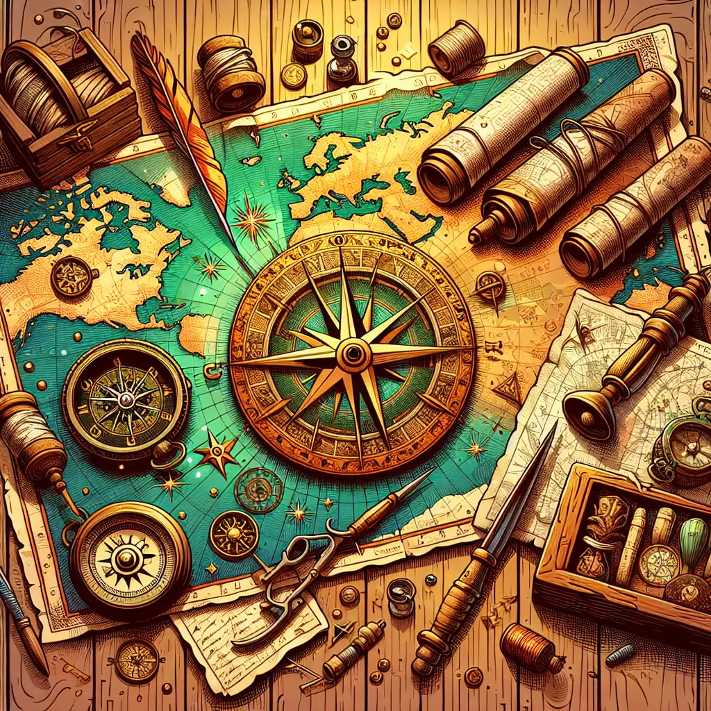
Maps and navigation have played a vital role throughout history, shaping exploration, trade, and cultural exchange. Early maps reflected not only geographic knowledge but also the worldview and beliefs of their creators. Navigational techniques, from celestial navigation to the compass, enabled societies to connect and expand. Culturally, maps have served as tools of power, education, and identity, illustrating how people perceive and interact with their world across different eras and civilizations.
Maps & Navigation: Historical & Cultural Context
Maps and navigation have played a vital role throughout history, shaping exploration, trade, and cultural exchange. Early maps reflected not only geographic knowledge but also the worldview and beliefs of their creators. Navigational techniques, from celestial navigation to the compass, enabled societies to connect and expand. Culturally, maps have served as tools of power, education, and identity, illustrating how people perceive and interact with their world across different eras and civilizations.
💡 Key Takeaways
- Understand how maps reflect geographic knowledge and the worldview of their creators.
- Learn major navigation techniques—from celestial navigation to the compass—and their impact on exploration and trade.
- Explore how cartography facilitated cultural exchange and power dynamics across civilizations.
- Recognize how advances in technology changed map accuracy, scale, and accessibility over time.
❓ Frequently Asked Questions
What role did maps play in historical exploration and trade?
Maps guided voyages, mapped routes and resources, and facilitated trade and cultural exchange; they also reflect the knowledge and biases of their creators.
How did early maps reflect the worldview of their creators?
They often prioritized political or religious centers, included mythic or symbolic elements, and showed limited geographic accuracy, revealing the beliefs, purposes, and power structures of the makers.
What are some key navigational techniques used throughout history?
Celestial navigation (stars and Sun), the magnetic compass, dead reckoning, and coastal charting (portolan charts); later tools like the marine chronometer improved accuracy.
Why were navigational advances important for cultural exchange?
Better navigation enabled longer, safer voyages, expanding trade networks and contact between distant peoples, spreading ideas, technologies, and cultural practices.