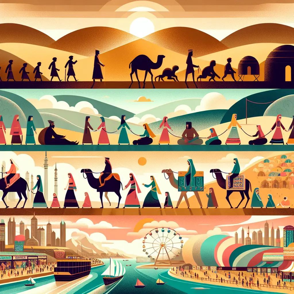
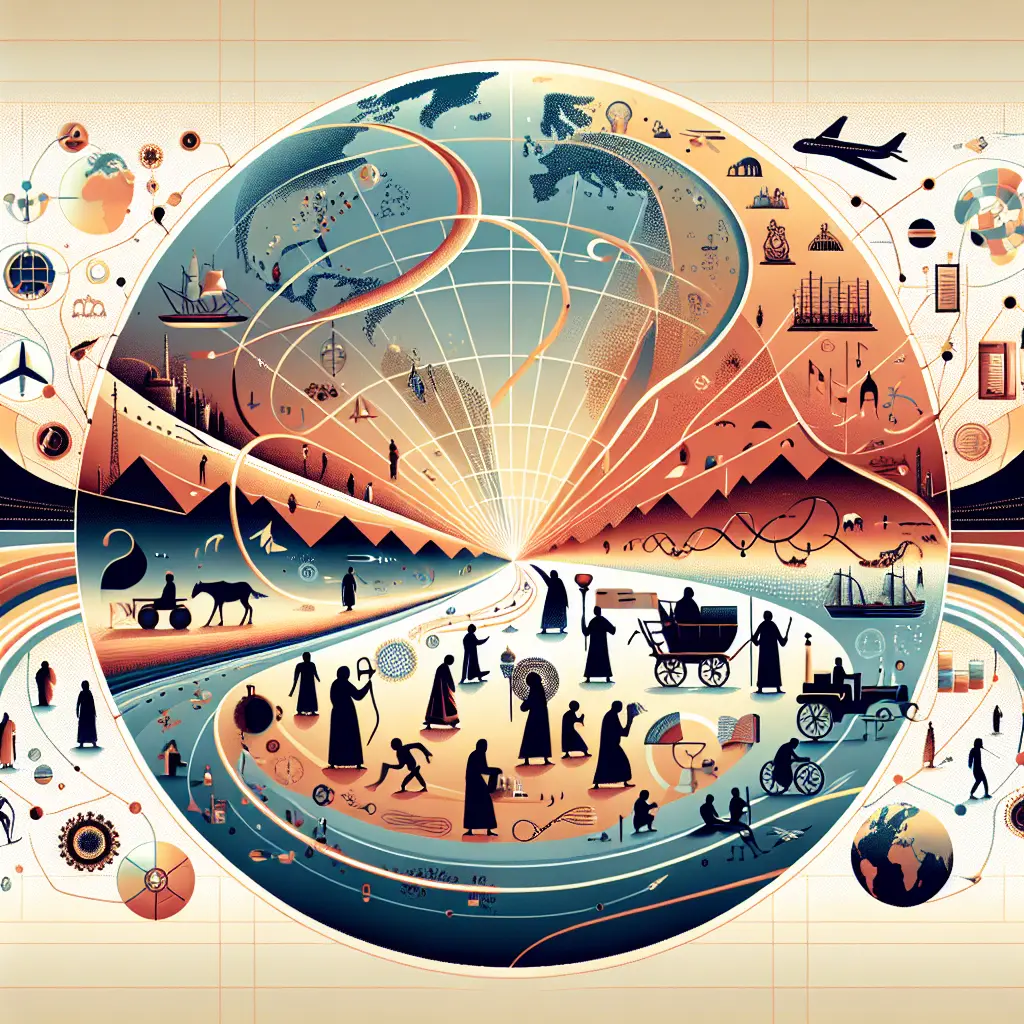
"Maps & Navigation: Key Figures, Features & Motifs" refers to the essential elements in the study or depiction of maps and navigation. Key figures might include influential explorers, cartographers, or navigators. Features denote the physical or symbolic elements found on maps, such as landmarks, routes, or compass roses. Motifs are recurring themes or symbols, like pathways or stars, representing guidance, discovery, and the human quest to understand and traverse the world.
Maps & Navigation: Key Figures, Features & Motifs
"Maps & Navigation: Key Figures, Features & Motifs" refers to the essential elements in the study or depiction of maps and navigation. Key figures might include influential explorers, cartographers, or navigators. Features denote the physical or symbolic elements found on maps, such as landmarks, routes, or compass roses. Motifs are recurring themes or symbols, like pathways or stars, representing guidance, discovery, and the human quest to understand and traverse the world.
💡 Key Takeaways
- Identify influential explorers, cartographers, and navigators who shaped maps and navigation throughout world history.
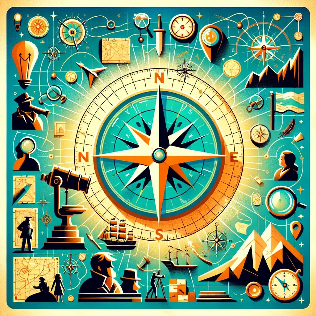
- Describe common map features and symbols (scale bar, compass rose, legend, latitude/longitude grid) and their practical uses.
- Explain recurring cartographic motifs and styles (portolan charts, decorative cartouches, sea monsters) and what they reveal about cultural context.
- Trace the evolution of mapping and navigation—from early geometric methods to GPS and digital maps.
❓ Frequently Asked Questions
Who are some key figures in the history of maps and navigation, and why are they important?
Ptolemy helped establish early geographic coordinates; Gerardus Mercator designed the Mercator projection for sea navigation; Zheng He expanded medieval maritime exploration and cartography through his voyages.
What is a map projection and why is it important for navigation?
A map projection translates the Earth's curved surface onto a flat map. All projections distort some properties (shape, area, distance, or direction); navigators choose projections based on the task, such as preserving angles for sailing.
What are common map features and symbols that help you read a map?
Legend explains symbols; scale bar shows distance; compass rose or north arrow indicates direction; grid lines for latitude and longitude; symbols denote cities, roads, rivers, terrain, and landmarks.
What is the difference between physical maps and thematic maps?
Physical maps show natural features like landforms and bodies of water; thematic maps illustrate a specific theme or data (e.g., climate, population, routes) using color and symbols.