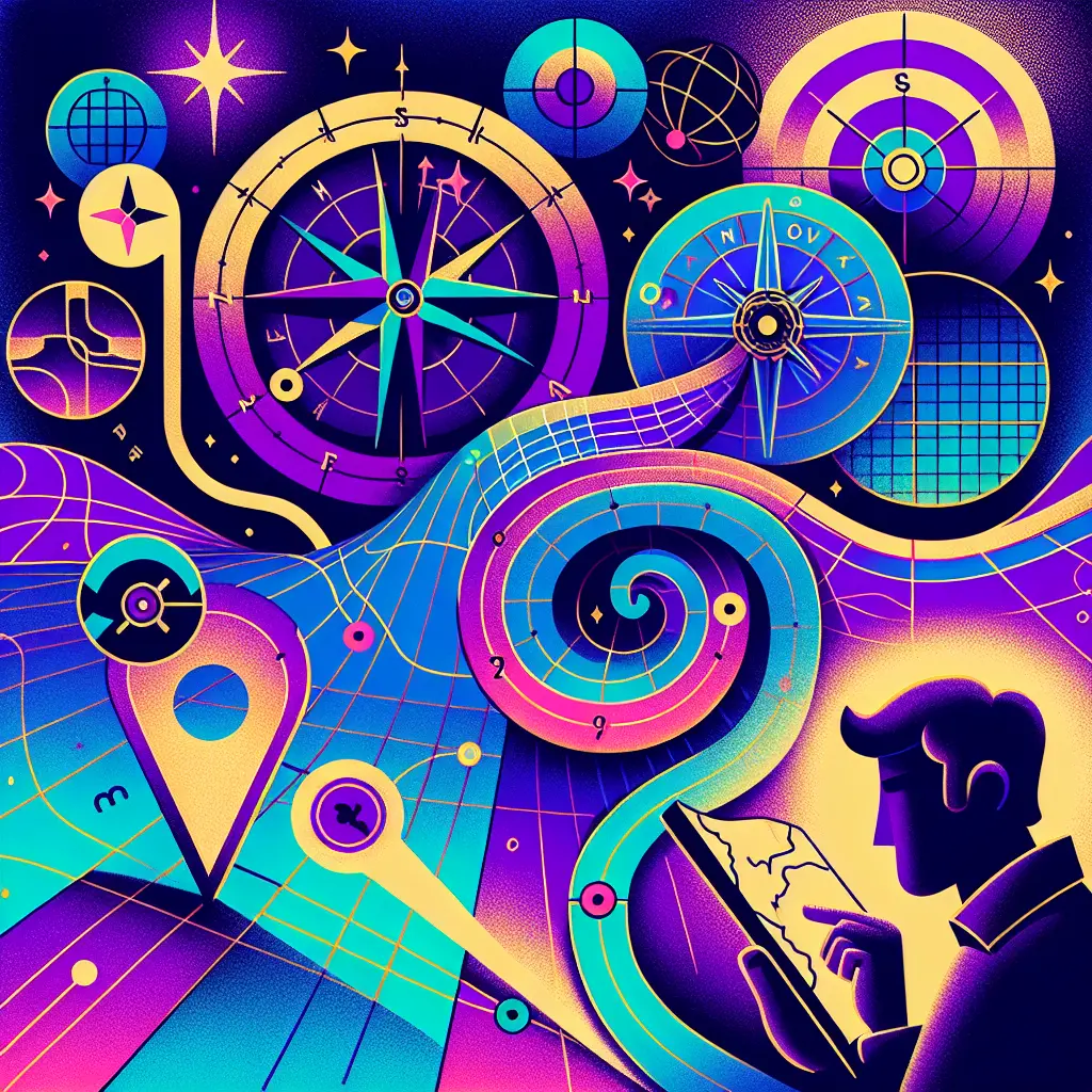
"Maps & Navigation: Synthesis, Interpretation & Argumentation" refers to the process of combining geographic data (synthesis), analyzing and understanding spatial information (interpretation), and forming reasoned conclusions or persuasive explanations based on that analysis (argumentation). This approach emphasizes not just reading maps, but critically engaging with them to draw insights, support claims, and communicate findings effectively in various contexts.
Maps & Navigation: Synthesis, Interpretation & Argumentation
"Maps & Navigation: Synthesis, Interpretation & Argumentation" refers to the process of combining geographic data (synthesis), analyzing and understanding spatial information (interpretation), and forming reasoned conclusions or persuasive explanations based on that analysis (argumentation). This approach emphasizes not just reading maps, but critically engaging with them to draw insights, support claims, and communicate findings effectively in various contexts.
💡 Key Takeaways
- Synthesize geographic data from multiple sources into a unified map-based narrative.
- Interpret spatial information to identify patterns, connections, and trends across time and space.
- Build and justify evidence-based arguments or explanations about historical or geographic questions using map data.
- Evaluate cartographic choices (projections, scales, symbols) and how they affect interpretation and navigation decisions.
❓ Frequently Asked Questions
What does synthesis mean in maps and navigation?
Synthesis means combining diverse geographic data (routes, terrain, population, resources) into a single picture to analyze or argue a point.
How do you interpret a map to understand spatial relationships?
Read the legend and scale, note the projection, examine layers, and assess distances, directions, proximity, and connectivity between features.
What is map-based argumentation in world history and geography?
Using map evidence to support a claim—explaining why a pattern occurred or how geography shaped events—with reasoning and sources.
Why do map projections and scale matter in interpretation?
Projections can distort size/shape; scale affects detail. Both influence how distances, areas, and relationships are perceived.
What are best practices to avoid common map interpretation errors?
Check dates/sources, use multiple maps/data layers, avoid cherry-picking, distinguish correlation from causation, and consider context and bias.