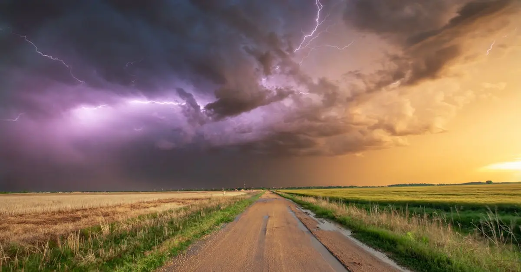
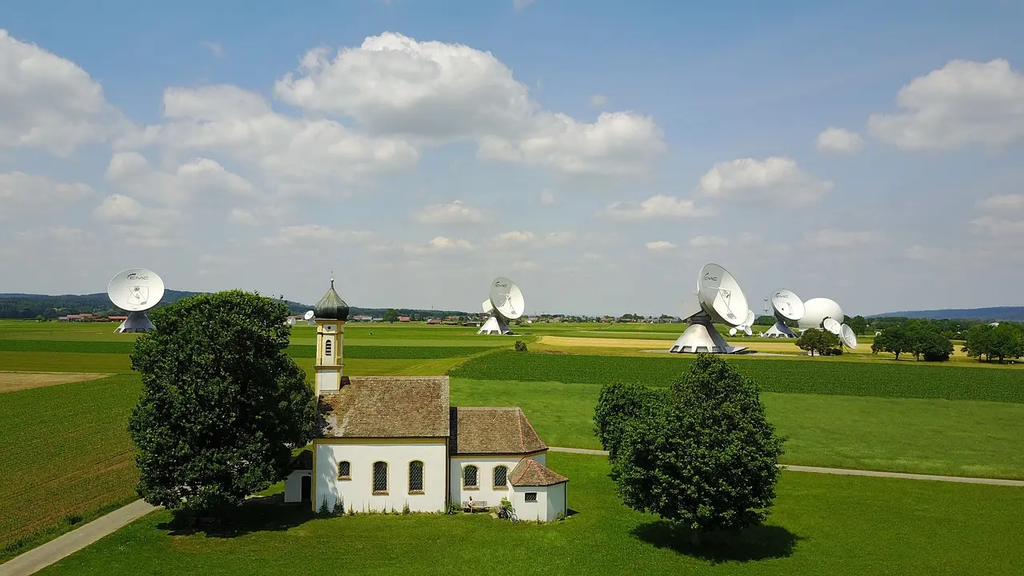
Next-generation radar and satellite constellations for nowcasting refer to advanced networks of sensors and satellites designed to provide real-time, high-resolution weather data. These systems enhance the accuracy and speed of short-term weather predictions by continuously monitoring atmospheric changes. Leveraging improved imaging, rapid data transmission, and sophisticated algorithms, they enable meteorologists to detect and forecast severe weather events within minutes, significantly improving public safety and disaster preparedness.
Next-Generation Radar and Satellite Constellations for Nowcasting
Next-generation radar and satellite constellations for nowcasting refer to advanced networks of sensors and satellites designed to provide real-time, high-resolution weather data. These systems enhance the accuracy and speed of short-term weather predictions by continuously monitoring atmospheric changes. Leveraging improved imaging, rapid data transmission, and sophisticated algorithms, they enable meteorologists to detect and forecast severe weather events within minutes, significantly improving public safety and disaster preparedness.
💡 Key Takeaways
- Understand how next-gen radar and satellite networks provide continuous, high-resolution data for nowcasting.
- See how rapid-refresh observations translate into faster, more accurate warnings for severe weather.
- Learn how multi-sensor data fusion from radar, satellites, and ground observations improves storm tracking and nowcasting confidence.
- Identify practical challenges in deploying these systems, including latency, processing needs, calibration, and data access for decision-makers.
❓ Frequently Asked Questions
What is nowcasting?
Nowcasting is short-term weather forecasting (typically 0–6 hours ahead) using real-time observations to predict imminent conditions such as rain or storms.
What are next-generation radar and satellite constellations?
They are upgraded networks of ground-based radar and fleets of satellites in various orbits that provide high-resolution, frequent observations for near real-time weather monitoring.
How do radar and satellite data work together for nowcasting?
Radar measures precipitation intensity and movement; satellites monitor cloud cover, temperature, and humidity. Combined, they give a timely, detailed view of evolving weather.
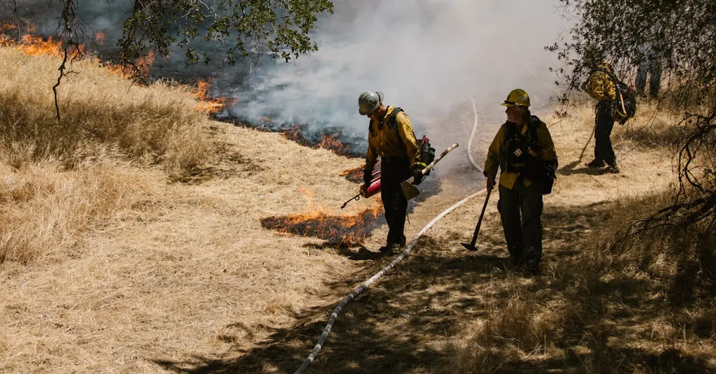
Why is this important for natural disasters in the United States?
Real-time, precise data enables faster warnings and better decision-making to protect lives and property during severe weather events like storms, floods, and tornadoes.