Photogrammetry and drone mapping basics involve using aerial imagery captured by drones to create accurate digital models and maps of construction sites. This technology enables precise measurement, documentation, and analysis of site conditions. By processing overlapping photos with specialized software, construction professionals can generate 2D maps, 3D models, and topographic data, improving project planning, monitoring, and decision-making. These digital applications streamline workflows, enhance communication, and support efficient construction information management.
Photogrammetry and Drone Mapping Basics
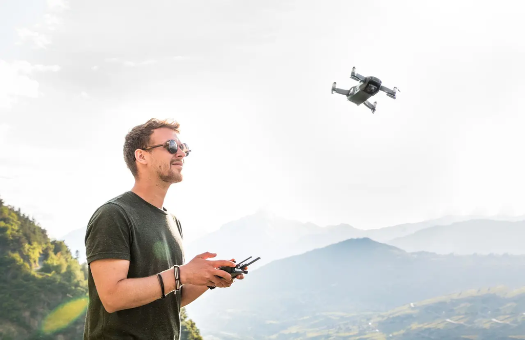
Photogrammetry and drone mapping basics involve using aerial imagery captured by drones to create accurate digital models and maps of construction sites. This technology enables precise measurement, documentation, and analysis of site conditions. By processing overlapping photos with specialized software, construction professionals can generate 2D maps, 3D models, and topographic data, improving project planning, monitoring, and decision-making. These digital applications streamline workflows, enhance communication, and support efficient construction information management.
💡 Key Takeaways
- Understand the basic idea of photogrammetry and how drone photos are turned into 3D models.
- Learn the drone mapping workflow: planning, data capture, processing, and generating outputs like orthomosaics and point clouds.
- Identify common data types and outputs in drone mapping (RGB orthomosaics, dense point clouds, DSM/DTM, and 3D models).
- Recognize factors that affect accuracy (image overlap, ground control points, flight altitude, and camera calibration) and how to improve precision.
❓ Frequently Asked Questions
What is photogrammetry and how does it relate to drone mapping?
Photogrammetry is the science of measuring real-world objects from photographs. In drone mapping, overlapping aerial photos are processed to create accurate 2D maps (orthomosaics) and 3D models.
What is ground sampling distance (GSD) and why is it important?
GSD is the real-world distance represented by one image pixel. Smaller GSD means higher detail and accuracy but requires higher-resolution imagery or closer flight; it influences data size and precision.
What helps ensure accurate drone maps?
Careful flight planning (altitude and overlap), camera calibration, and using ground control points (GCPs) or RTK/PPK positioning to anchor the data to real-world coordinates.
What outputs can you expect from photogrammetry-based drone mapping?
Orthomosaics (georeferenced 2D maps), digital elevation models (DEM/DTM), 3D textured models, and dense point clouds.