Political geography examines how political processes and boundaries shape the world. Famous examples include the division of North and South Korea along the 38th parallel, the creation of new countries after the breakup of the Soviet Union, and the ongoing Israeli-Palestinian conflict. Identification in political geography involves recognizing how borders, territories, and governance influence cultural, economic, and social interactions between regions and countries, impacting global relations and power dynamics.
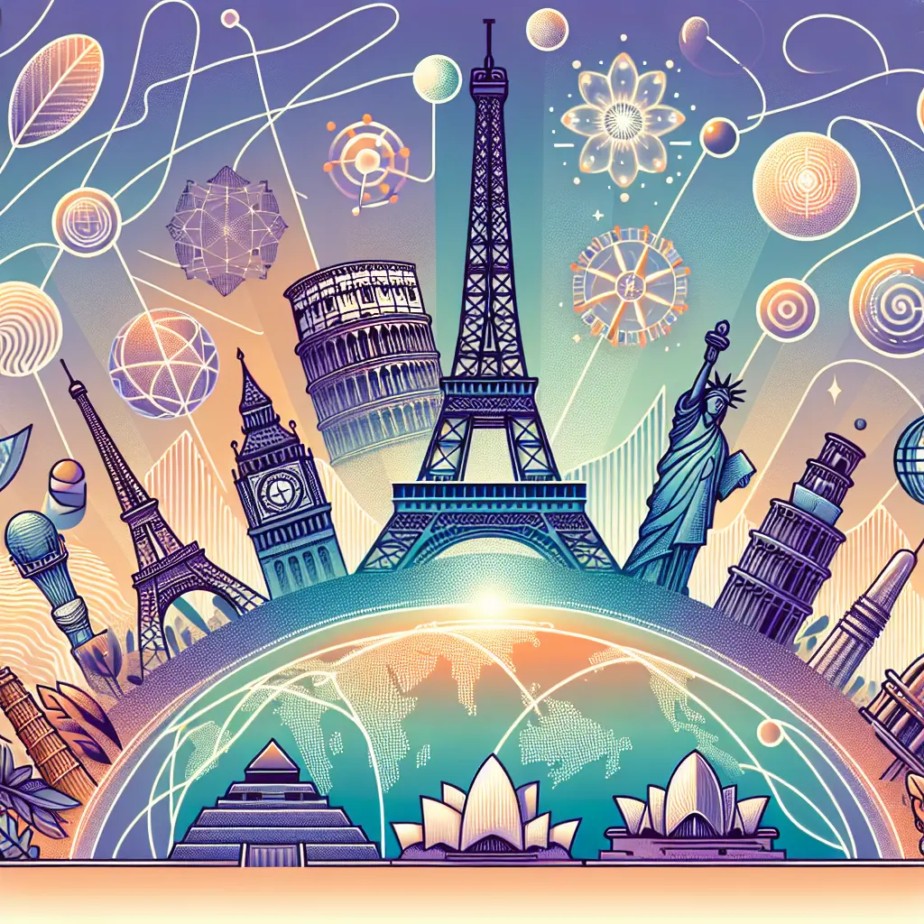
Political Geography: Famous Examples & Identification
Political geography examines how political processes and boundaries shape the world. Famous examples include the division of North and South Korea along the 38th parallel, the creation of new countries after the breakup of the Soviet Union, and the ongoing Israeli-Palestinian conflict. Identification in political geography involves recognizing how borders, territories, and governance influence cultural, economic, and social interactions between regions and countries, impacting global relations and power dynamics.
💡 Key Takeaways
- Define political geography and describe how borders influence sovereignty, governance, and national identity.
- Identify landmark boundary cases (the 38th parallel in Korea, post-Soviet state creation, and ongoing Israel-Palestinian issues) and summarize how and why they emerged.
- Explore how borders affect daily life—migration, security, resource access, and cross-border relations.
- Learn techniques for locating and labeling political boundaries on maps and understand how treaties and international recognition shape them.
❓ Frequently Asked Questions
What is political geography?
The study of how political processes, power, and boundaries shape how space is organized and governed around the world.
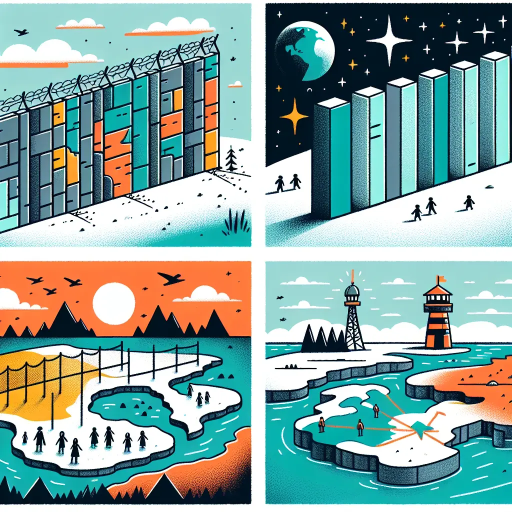
What is the significance of the 38th parallel in Korea?
A latitude line used to divide Korea after WWII, creating the Korean Demilitarized Zone (DMZ) that separates North and South Korea today.
How did new countries form after the breakup of the Soviet Union?
In 1991, the Soviet Union dissolved and its republics became independent states, leading to new borders, sovereignty, and international recognition.
What are the key geographic issues in the Israeli–Palestinian conflict?
Disputes over land, borders, the status of Jerusalem, settlements, and refugees—geographic questions that influence negotiations and governance.