Political Geography: Foundations & Key Terms+50 
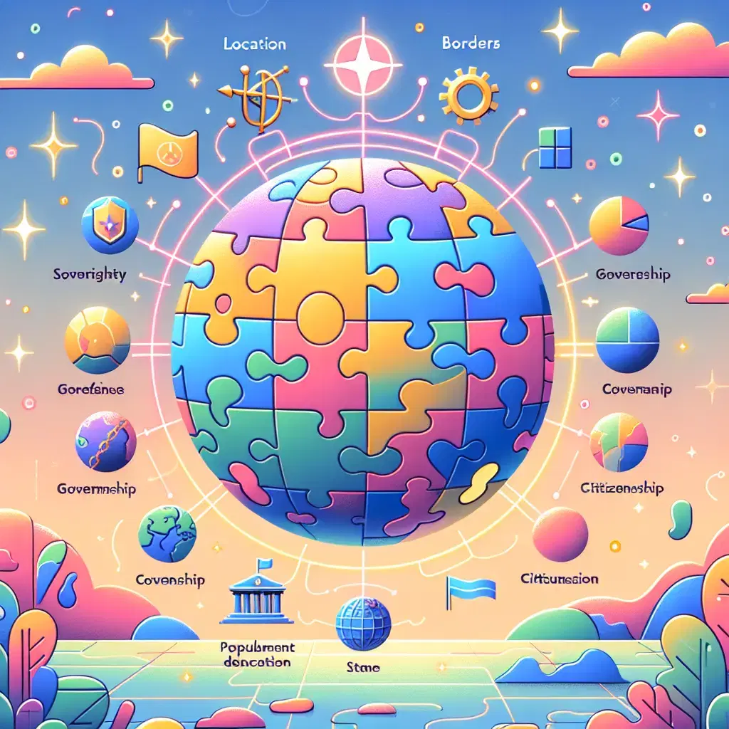
Political geography is a branch of human geography that examines how political processes and structures are influenced by spatial factors. It explores the organization of political entities like states, nations, and regions, and analyzes boundaries, territories, sovereignty, and the distribution of power. Key terms include state, nation, border, sovereignty, geopolitics, and territoriality, all of which help explain the relationship between political authority and geographic space.
Political Geography: Foundations & Key Terms+50
Political geography is a branch of human geography that examines how political processes and structures are influenced by spatial factors. It explores the organization of political entities like states, nations, and regions, and analyzes boundaries, territories, sovereignty, and the distribution of power. Key terms include state, nation, border, sovereignty, geopolitics, and territoriality, all of which help explain the relationship between political authority and geographic space.
💡 Key Takeaways
- Understand how spatial factors shape political processes, governance, and decision-making.
- Identify and differentiate political entities—states, nations, and regions—and how they relate to sovereignty and identity.
- Explain boundaries and borders: how they are created, contested, and managed across space.
- Define sovereignty and territoriality and examine their roles in governing political units.
- Explore how geography influences the distribution of power, resources, and political influence across space.
❓ Frequently Asked Questions
What is political geography?
A branch of human geography that studies how space, place, and spatial relationships shape political processes, power, and governance.
What does sovereignty mean?
The supreme, exclusive right to govern a territory and its people, typically recognized by other states and international law.
How do nations differ from states?
A nation is a group with a shared identity (culture, language, history); a state is a political-legal entity with defined territory and government. A nation can exist without its own state.
What are common boundary types?
Natural boundaries follow physical features (rivers, mountains); geometric boundaries are straight lines drawn on maps. Boundaries can reflect history, treaties, and conflicts.