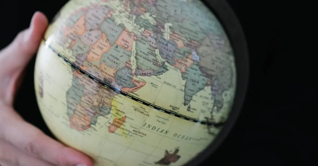
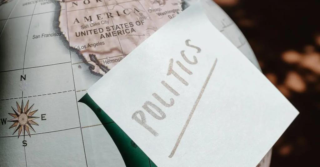
Political geography examines how political processes and structures are influenced by geographic space and boundaries. It explores the organization of territories, the creation and significance of borders, and the impact of location on political power and relationships. Core concepts include states, nations, sovereignty, territoriality, and the influence of geographic factors on political decision-making, conflicts, and cooperation among countries or regions. Political geography helps explain how spatial factors shape global and local politics.
Political Geography: Summaries & Core Concepts
Political geography examines how political processes and structures are influenced by geographic space and boundaries. It explores the organization of territories, the creation and significance of borders, and the impact of location on political power and relationships. Core concepts include states, nations, sovereignty, territoriality, and the influence of geographic factors on political decision-making, conflicts, and cooperation among countries or regions. Political geography helps explain how spatial factors shape global and local politics.
💡 Key Takeaways
- Explain how geographic space and boundaries shape political power and policy decisions.
- Describe how territories and states are organized within sovereign borders and how they interact across borders.
- Understand the creation and significance of borders, frontiers, and borderlands in politics.
- Identify core political geography concepts such as states, sovereignty, nation-states, and spatial organization.
❓ Frequently Asked Questions
What is political geography?
The study of how geographic space, places, and boundaries shape political power, governance, and relationships between states and peoples.
What defines a state in political geography?
A political unit with defined territory, permanent population, a government, and sovereignty recognized by others.
What is the difference between a boundary and a border?
A boundary is the official line that separates territories; a border is the zone and systems of control surrounding that line.
What is sovereignty?
The supreme authority of a state to govern its territory and conduct foreign relations without external interference.
What factors influence how borders are drawn or changed?
Geography, history, treaties, conflicts, negotiations, and political decisions, plus considerations like ethnicity and economics.