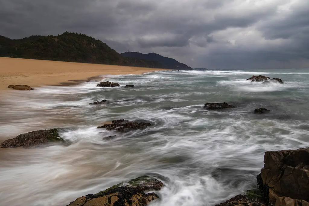
Radar and precipitation patterns refer to the use of radar technology to detect and display areas of rainfall, snow, or other forms of precipitation. Meteorologists analyze these radar images to understand where precipitation is occurring, its intensity, and movement. By observing these patterns, they can track storms, forecast weather changes, and issue warnings for severe weather events, helping the public and authorities prepare for potential impacts.
Radar and Precipitation Patterns
Radar and precipitation patterns refer to the use of radar technology to detect and display areas of rainfall, snow, or other forms of precipitation. Meteorologists analyze these radar images to understand where precipitation is occurring, its intensity, and movement. By observing these patterns, they can track storms, forecast weather changes, and issue warnings for severe weather events, helping the public and authorities prepare for potential impacts.
💡 Key Takeaways
- Understand how weather radar detects precipitation and distinguishes rain, snow, and other forms.
- Learn how radar images show where precipitation is located, how intense it is, and how fast it’s moving.
- Explore how meteorologists use Doppler radar to infer wind patterns and storm structure for short-term forecasts.
- Recognize the limitations of radar data, including coverage gaps and interpretation uncertainties, and why multiple sources are used.
❓ Frequently Asked Questions
What is radar in weather forecasting?
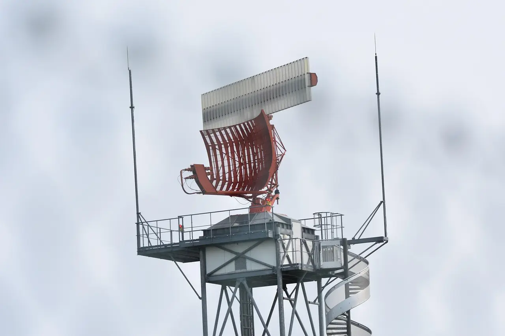
Weather radar uses radio waves to detect precipitation like rain, snow, or hail. Echoes returned from droplets or ice help map where precipitation is, how heavy it is, and how it’s moving.
What information does radar provide about precipitation?
Radar shows the location, movement, and an estimate of precipitation intensity. Some products also reveal storm structure and speed.
Why do radar images use colors, and what do they mean?
Colors map reflectivity values (the strength of the returned signal). Brighter colors usually indicate heavier precipitation, helping distinguish light rain from heavy rain or hail.
What are common limitations of radar data?
Radar has a range limit and can be affected by clutter or attenuation in heavy rain. It doesn’t measure rainfall rate perfectly and can misclassify precipitation types in some conditions.
How do meteorologists use radar data for warnings?
They track storm motion and intensity, look for severe-weather signatures, and combine radar with other observations to issue warnings for heavy rain, flooding, or severe storms.