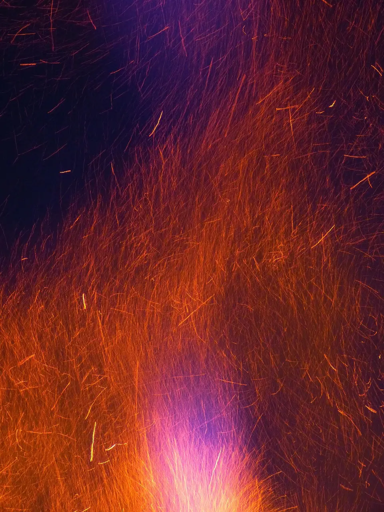
Remote sensing for burn severity and fire perimeters involves using satellite or aerial imagery to assess the extent and intensity of wildfire damage. By analyzing changes in vegetation, thermal signatures, and surface reflectance, remote sensing helps map fire boundaries and categorize areas based on burn severity. This technology enables rapid, large-scale assessment, supporting emergency response, ecological studies, and land management by providing accurate, up-to-date information on wildfire impacts.
Remote Sensing for Burn Severity and Fire Perimeters
Remote sensing for burn severity and fire perimeters involves using satellite or aerial imagery to assess the extent and intensity of wildfire damage. By analyzing changes in vegetation, thermal signatures, and surface reflectance, remote sensing helps map fire boundaries and categorize areas based on burn severity. This technology enables rapid, large-scale assessment, supporting emergency response, ecological studies, and land management by providing accurate, up-to-date information on wildfire impacts.
💡 Key Takeaways
- Explain how remote sensing measures burn severity by analyzing changes in vegetation indices, surface reflectance, and thermal signatures.
- Describe how fire perimeters are mapped over time using satellite and aerial imagery to delineate burned boundaries.
- Identify common sensors and indices (e.g., NDVI, NBR, SWIR and thermal bands) used in burn severity and perimeter mapping and what they reveal.
- Discuss challenges in burn mapping from imagery (clouds, smoke, resolution, and validation) and how to address them with best practices.
❓ Frequently Asked Questions
What is remote sensing in the context of burn severity and fire perimeters?
It uses satellite or aerial imagery to observe large areas and estimate how severely land was burned and where fire boundaries lie by analyzing changes in vegetation, surface reflectance, and heat signatures.
How can remote sensing map fire perimeters?
By comparing imagery from before, during, and after a fire and detecting thermal anomalies, we delineate the burned boundary and track how the fire spread over time.
What indicators are used to assess burn severity from imagery?
Vegetation and soil changes measured with indices like Normalized Burn Ratio (NBR) and the differenced NBR (dNBR), along with changes in surface reflectance and heat data to show heat exposure.
Which data sources are commonly used for these maps?
Satellite missions such as Landsat, Sentinel-2, MODIS, and VIIRS provide multi-spectral and thermal data; higher-resolution aircraft imagery may be used for detailed mapping.
What limitations should be considered when using remote sensing for burns?
Clouds, smoke, sensor resolution, timing gaps, and the need for pre-fire baselines can affect accuracy and completeness of burn severity and perimeter maps.