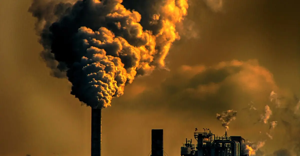
Remote sensing for environmental monitoring involves using satellite or aerial sensor technologies to collect data about the Earth's surface and atmosphere. This technique allows scientists to observe, measure, and analyze changes in land use, vegetation, water bodies, and climate patterns over large areas and time periods. It provides valuable information for tracking environmental changes, managing natural resources, detecting disasters like floods or wildfires, and supporting sustainable development and conservation efforts.
Remote Sensing for Environmental Monitoring
Remote sensing for environmental monitoring involves using satellite or aerial sensor technologies to collect data about the Earth's surface and atmosphere. This technique allows scientists to observe, measure, and analyze changes in land use, vegetation, water bodies, and climate patterns over large areas and time periods. It provides valuable information for tracking environmental changes, managing natural resources, detecting disasters like floods or wildfires, and supporting sustainable development and conservation efforts.
💡 Key Takeaways
- Understand how satellites and aircraft sensors collect data on Earth's surface and atmosphere.
- Learn how remote sensing tracks changes in land use, vegetation health, water bodies, and climate indicators over large areas.
- Get to know common measurements and data products (e.g., NDVI, land cover maps) used to quantify environmental change.
- Explore real-world applications in monitoring ecosystems, water resources, urban expansion, and climate patterns.
- Recognize key limitations and trade-offs, including spatial/temporal resolution and data processing requirements.
❓ Frequently Asked Questions
What is remote sensing in environmental monitoring?
Remote sensing collects information about the Earth's surface and atmosphere from sensors on satellites or aircraft, without direct contact, by measuring reflected or emitted energy across different wavelengths to map features and track changes over time.
What types of sensors are used in remote sensing?
Two main types: passive sensors that detect natural energy (like sunlight reflected in visible and infrared bands) and active sensors that emit signals and measure the return (such as LiDAR and radar), which can operate in cloudy or nighttime conditions.
What environmental aspects can remote sensing monitor?
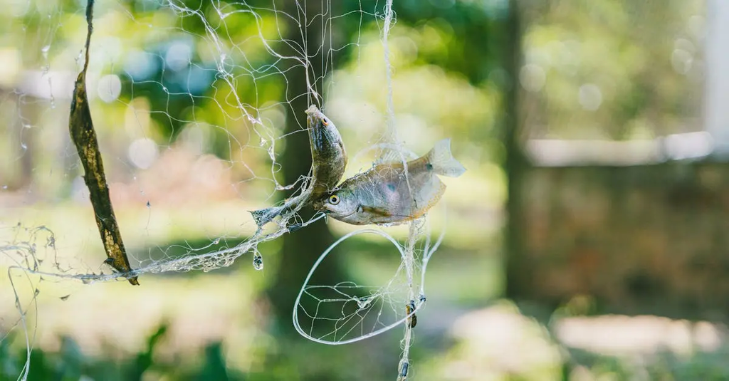
Land use and land cover changes, vegetation health and biomass, water bodies and quality, forests, soil moisture, droughts, wildfires, and climate-related indicators like land surface temperature.
Where do remote-sensing data come from and how are they used?
Data come from satellites (e.g., Landsat, Sentinel), aircraft, and drones. They’re used to create maps, analyze trends over time, support conservation and resource management, and inform climate and policy decisions.