Satellite Image Analysis (Visual Challenge Vault) refers to the process of examining and interpreting satellite-captured images to extract valuable information about Earth's surface. The "Visual Challenge Vault" implies a collection or repository of complex visual problems or datasets that require advanced analytical skills to solve. This analysis is crucial for applications like environmental monitoring, urban planning, disaster management, and resource exploration, leveraging cutting-edge technologies to decode and understand patterns and changes in satellite imagery.
Satellite Image Analysis
Satellite Image Analysis (Visual Challenge Vault) refers to the process of examining and interpreting satellite-captured images to extract valuable information about Earth's surface. The "Visual Challenge Vault" implies a collection or repository of complex visual problems or datasets that require advanced analytical skills to solve. This analysis is crucial for applications like environmental monitoring, urban planning, disaster management, and resource exploration, leveraging cutting-edge technologies to decode and understand patterns and changes in satellite imagery.
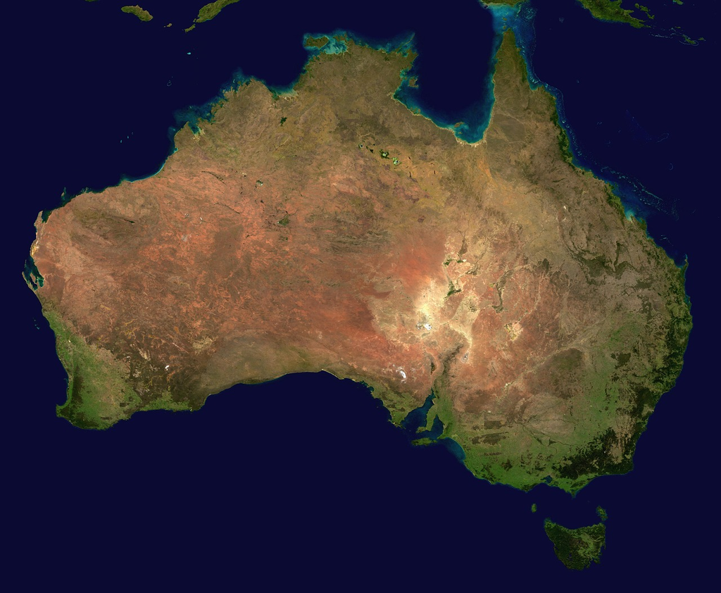
💡 Key Takeaways
- Understand what satellite images reveal about the Earth's surface and how color bands relate to features.
- Learn to identify common land cover types like water, vegetation, urban areas, and bare soil in imagery.
- Get introduced to basic preprocessing steps that improve image quality, such as alignment (georeferencing) and atmospheric correction.
- Explore how to compare images over time to detect changes in land use, crops, or infrastructure.
❓ Frequently Asked Questions
What is satellite image analysis?
The process of extracting information about the Earth's surface from satellite imagery, including preprocessing, feature extraction, classification, and change detection.
What is NDVI and why is it useful?
NDVI is a vegetation index computed from near-infrared and red bands that highlights vegetation health and cover, helping assess biomass, vigor, and stress.
What are common steps in satellite image analysis?
Acquire imagery, preprocess (radiometric/geometric and atmospheric corrections), analyze (classification or index calculations), and interpret or validate results.
What data sources are commonly used for satellite image analysis?
Public sources include Landsat and Sentinel-2 (moderate to high resolution, free access); MODIS offers high temporal resolution with coarser detail; commercial providers offer higher-resolution imagery.