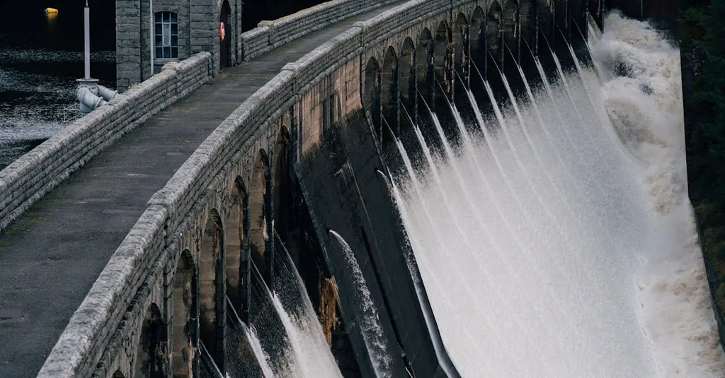
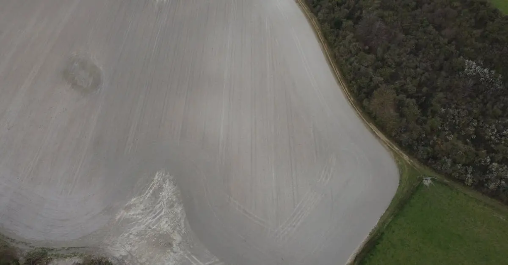
Upland geomorphology in the UK features rugged landscapes, steep slopes, and resistant rocks, often shaped by glaciation, such as in the Scottish Highlands and Lake District. In contrast, lowland geomorphology is characterized by gentler relief, softer sedimentary rocks, and features like floodplains and river valleys, as found in southern England. These differences influence soil types, vegetation, land use, and patterns of human settlement across the country.
Upland vs lowland geomorphology in the UK
Upland geomorphology in the UK features rugged landscapes, steep slopes, and resistant rocks, often shaped by glaciation, such as in the Scottish Highlands and Lake District. In contrast, lowland geomorphology is characterized by gentler relief, softer sedimentary rocks, and features like floodplains and river valleys, as found in southern England. These differences influence soil types, vegetation, land use, and patterns of human settlement across the country.
💡 Key Takeaways
- Distinguish upland and lowland UK geomorphology by relief, rock type, and dominant shaping processes (glaciation and frost action in uplands vs rivers and deposition in lowlands).
- Explain how glaciation shaped major UK upland regions (e.g., Scottish Highlands and Lake District) to form features like U‑shaped valleys, corries, and sharp ridges.
- Describe upland landforms typical of resistant rocks and steep slopes (escarpments, cirques/corries, arêtes) and how weathering and erosion sustain them.
- Describe lowland landforms formed in softer sedimentary rocks (floodplains, river terraces) and the fluvial/depositional processes that create them.
❓ Frequently Asked Questions
What defines upland geomorphology in the UK?
Upland geomorphology describes high, rugged landscapes with steep slopes and resistant bedrock, often shaped by past glaciation such as in the Scottish Highlands and Lake District.
What characterises UK lowland geomorphology?
Lowland geomorphology features gentler relief, softer sedimentary rocks, and landforms like river floodplains, estuaries, and broad valleys.
What processes shape uplands in the UK?
Glaciation carved valleys and corries, while freeze-thaw weathering and mass movement modify steep slopes on resistant rocks.
How do upland and lowland landscapes differ in land use?
Uplands are often used for grazing and recreation with sparser settlement, whereas lowlands support arable farming, towns, and transport networks due to more fertile soils and flatter terrain.