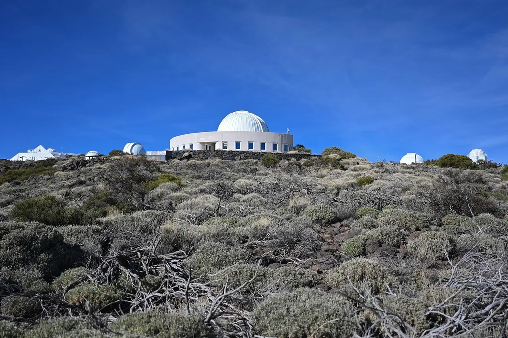
Volcano observatories and hazard monitoring networks are specialized facilities and systems dedicated to tracking volcanic activity and assessing related risks. They use advanced technology, such as seismographs, gas sensors, and satellite imagery, to monitor signs of eruptions. These organizations analyze data to provide early warnings, inform emergency response, and protect nearby communities. Their efforts are crucial for minimizing damage, ensuring public safety, and improving scientific understanding of volcanic hazards.
Volcano Observatories and Hazard Monitoring Networks
Volcano observatories and hazard monitoring networks are specialized facilities and systems dedicated to tracking volcanic activity and assessing related risks. They use advanced technology, such as seismographs, gas sensors, and satellite imagery, to monitor signs of eruptions. These organizations analyze data to provide early warnings, inform emergency response, and protect nearby communities. Their efforts are crucial for minimizing damage, ensuring public safety, and improving scientific understanding of volcanic hazards.
💡 Key Takeaways
- Understand the purpose of volcano observatories and hazard monitoring networks in tracking volcanic activity and assessing eruption risks.
- Identify the main technologies used in monitoring (seismographs, gas sensors, satellite imagery, and GPS/ground deformation) and what each reveals.
- Explain how monitoring data leads to warnings, advisories, and emergency responses for communities and travelers.
- Recognize how these networks help protect iconic American landscapes and nearby hidden gems by providing timely information about potential hazards.
❓ Frequently Asked Questions
What is a volcano observatory?
A facility that monitors volcanic activity, collects data from sensors, analyzes signs of unrest, and communicates risk assessments and warnings to authorities and the public.
What technologies do volcano observatories use to monitor eruptions?
Seismographs to track earthquakes, gas sensors to measure emissions (e.g., sulfur dioxide), GPS and InSAR for ground deformation, and satellite imagery or thermal cameras for surface changes.
What is a hazard monitoring network?
A system of sensors, observatories, and data-sharing tools that continuously track volcanic activity and coordinate alerts to protect people and infrastructure.
How are eruption warnings shared with the public and authorities?
Scientists assess data, assign alert levels, and issue official notices through observatories, aviation authorities, emergency managers, and public channels.