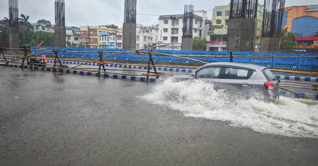
Climate risk modelling for UK infrastructure involves assessing potential impacts of climate change—such as flooding, heatwaves, and storms—on critical assets like transport, energy, and water systems. It uses data and simulations to predict vulnerabilities and inform adaptation strategies, helping policymakers, engineers, and planners design resilient infrastructure. This process supports long-term planning by identifying risks, estimating economic costs, and prioritizing investments to minimize disruptions and ensure continued service delivery under changing climate conditions.
Climate risk modelling for UK infrastructure
Climate risk modelling for UK infrastructure involves assessing potential impacts of climate change—such as flooding, heatwaves, and storms—on critical assets like transport, energy, and water systems. It uses data and simulations to predict vulnerabilities and inform adaptation strategies, helping policymakers, engineers, and planners design resilient infrastructure. This process supports long-term planning by identifying risks, estimating economic costs, and prioritizing investments to minimize disruptions and ensure continued service delivery under changing climate conditions.
💡 Key Takeaways
- Understand how climate change can affect UK infrastructure, including floods, heatwaves, and storms, and which assets are most at risk.
- Learn how climate risk models use data and simulations to identify vulnerabilities in transport, energy, and water systems.
- Explore how model outputs inform practical adaptation strategies and resilience planning for UK infrastructure.
- Recognize the role of policy, governance, and investment decisions in delivering climate-resilient infrastructure.
❓ Frequently Asked Questions
What is climate risk modelling?
A process that uses climate data and simulations to estimate how climate change could affect assets and services, including the likelihood and impact of hazards.
What climate hazards are considered for UK infrastructure?
Flooding, heatwaves, storms, and related events like heavy rainfall and sea-level rise.
Which sectors are typically assessed?
Critical assets in transport, energy, and water systems.
How do modelling results help adaptation?
By identifying vulnerabilities, prioritising investment, and informing resilience and emergency planning.
What data and methods underlie the modelling?
Climate projections, historical climate data, asset inventories, and simulations using scenario analysis and GIS for risk mapping.