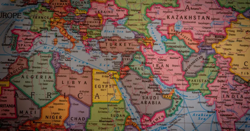
Geography & Capitals+50 
Geography & Capitals refers to the study of the physical features, locations, and boundaries of countries, as well as the identification of their capital cities. It involves understanding how countries are situated on the globe, their neighboring nations, and the significance of capitals as administrative and political centers. This knowledge helps in comprehending global relationships, cultural diversity, and the geopolitical importance of different regions around the world.
Geography & Capitals+50
Geography & Capitals refers to the study of the physical features, locations, and boundaries of countries, as well as the identification of their capital cities. It involves understanding how countries are situated on the globe, their neighboring nations, and the significance of capitals as administrative and political centers. This knowledge helps in comprehending global relationships, cultural diversity, and the geopolitical importance of different regions around the world.
💡 Key Takeaways
- Identify major physical features and how they shape country locations.
- Locate and name a country’s capital on a map.
- Understand borders and neighboring nations geographically.
- Explain why capitals are administrative and political centers.
- Read basic maps to determine relative positions of countries.
❓ Frequently Asked Questions
What is geography in Geography & Capitals?
Geography studies the Earth's surfaces—its physical features, where places are located, how borders separate nations, and how countries relate to one another.
What is a capital city and why is it important?
A capital is a country’s administrative center where government offices commonly reside; it often serves as a national symbol and hub for politics.
How can you identify a country’s location and its neighbors?
Use a world map or atlas to find its position on the globe, and note surrounding countries, continents, and major geographic features.
What do borders tell us about a country?
Borders mark where one country ends and another begins, reflecting geography, history, and political agreements.