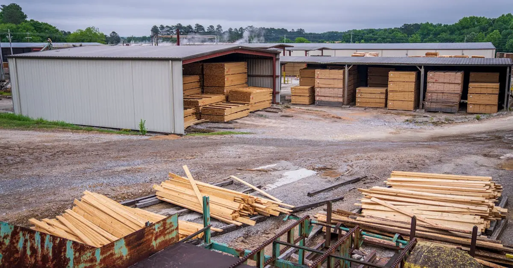
Geospatial science involves the collection, analysis, and interpretation of data relating to the Earth's surface. The Ordnance Survey, originally established for military mapping, has evolved into a leader in geospatial innovation. It now leverages advanced technologies like satellite imagery, GPS, and digital mapping to provide detailed, accurate geographic information. This evolution supports urban planning, navigation, environmental monitoring, and underpins a wide range of public and private sector applications across the UK.
Geospatial science and the Ordnance Survey's evolution
Geospatial science involves the collection, analysis, and interpretation of data relating to the Earth's surface. The Ordnance Survey, originally established for military mapping, has evolved into a leader in geospatial innovation. It now leverages advanced technologies like satellite imagery, GPS, and digital mapping to provide detailed, accurate geographic information. This evolution supports urban planning, navigation, environmental monitoring, and underpins a wide range of public and private sector applications across the UK.
💡 Key Takeaways
- Track the Ordnance Survey's evolution from military mapping to a leading geospatial innovator.
- Learn how geospatial science collects, analyses, and interprets data about the Earth's surface using satellite imagery and GPS.
- Discover how OS uses geospatial data to support planning, navigation, and emergency response in the UK.
- Understand the importance of data standards, quality, and openness in UK geospatial science.
❓ Frequently Asked Questions
What is geospatial science?
Geospatial science studies data tied to locations on the Earth's surface, using maps, coordinates, and technology to collect, analyze, and model geographic information.
What is the Ordnance Survey and why is it important?
The UK's official national mapping agency, founded for military mapping, now a leader in geospatial innovation, providing official maps and data for planning, navigation, and research.
How has the Ordnance Survey evolved over time?
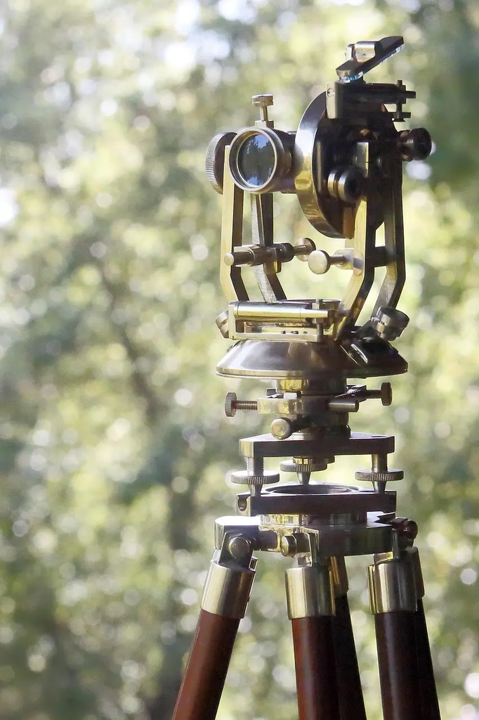
From traditional field surveys to embracing satellite imagery, GPS, 3D mapping, open data, and digital tools to support a wide range of applications.
What technologies does the Ordnance Survey use today?
Satellite imagery, GPS, LiDAR, drones, GIS software, and cloud platforms to capture, process, and share geospatial data.