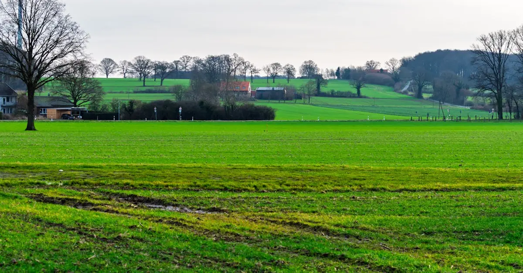
GIS for Ecology & Conservation refers to the use of Geographic Information Systems to analyze spatial data related to ecosystems, habitats, and species distribution. It helps scientists and conservationists map biodiversity, monitor environmental changes, identify critical habitats, and plan conservation efforts. By integrating various data sources, GIS supports decision-making for protecting endangered species, managing natural resources, and understanding ecological patterns, ultimately contributing to more effective conservation strategies.
GIS for Ecology & Conservation
GIS for Ecology & Conservation refers to the use of Geographic Information Systems to analyze spatial data related to ecosystems, habitats, and species distribution. It helps scientists and conservationists map biodiversity, monitor environmental changes, identify critical habitats, and plan conservation efforts. By integrating various data sources, GIS supports decision-making for protecting endangered species, managing natural resources, and understanding ecological patterns, ultimately contributing to more effective conservation strategies.
💡 Key Takeaways
- Understand how GIS analyzes spatial data to map ecosystems, habitats, and species distributions.
- Learn to identify biodiversity hotspots and monitor environmental changes over time using GIS.
- Learn to pinpoint critical habitats and wildlife corridors for effective conservation planning.
- Apply GIS workflows to support conservation decisions, habitat restoration, and policy development.
❓ Frequently Asked Questions
What is GIS in ecology and conservation?
GIS (Geographic Information Systems) is a framework for capturing, storing, analyzing, and visualizing spatial data to understand ecosystems, habitats, and species distributions in wildlife and domestic animals.
How does GIS help map biodiversity and species distribution?
By layering species occurrences, habitat types, climate, and land use, GIS shows where species live, how ranges shift, and where protection may be needed.
What is habitat suitability mapping?
It uses environmental variables to estimate how suitable each location is for a given species, helping identify critical habitats and priority areas for conservation.
What is a conservation planning use of GIS?
It helps prioritize protected areas, design wildlife corridors, monitor actions, and compare conservation scenarios to guide decisions.
What data sources are commonly used in ecological GIS?
Field surveys, GPS data, camera traps, satellite imagery (e.g., Landsat, MODIS), aerial photos, and existing biodiversity records.