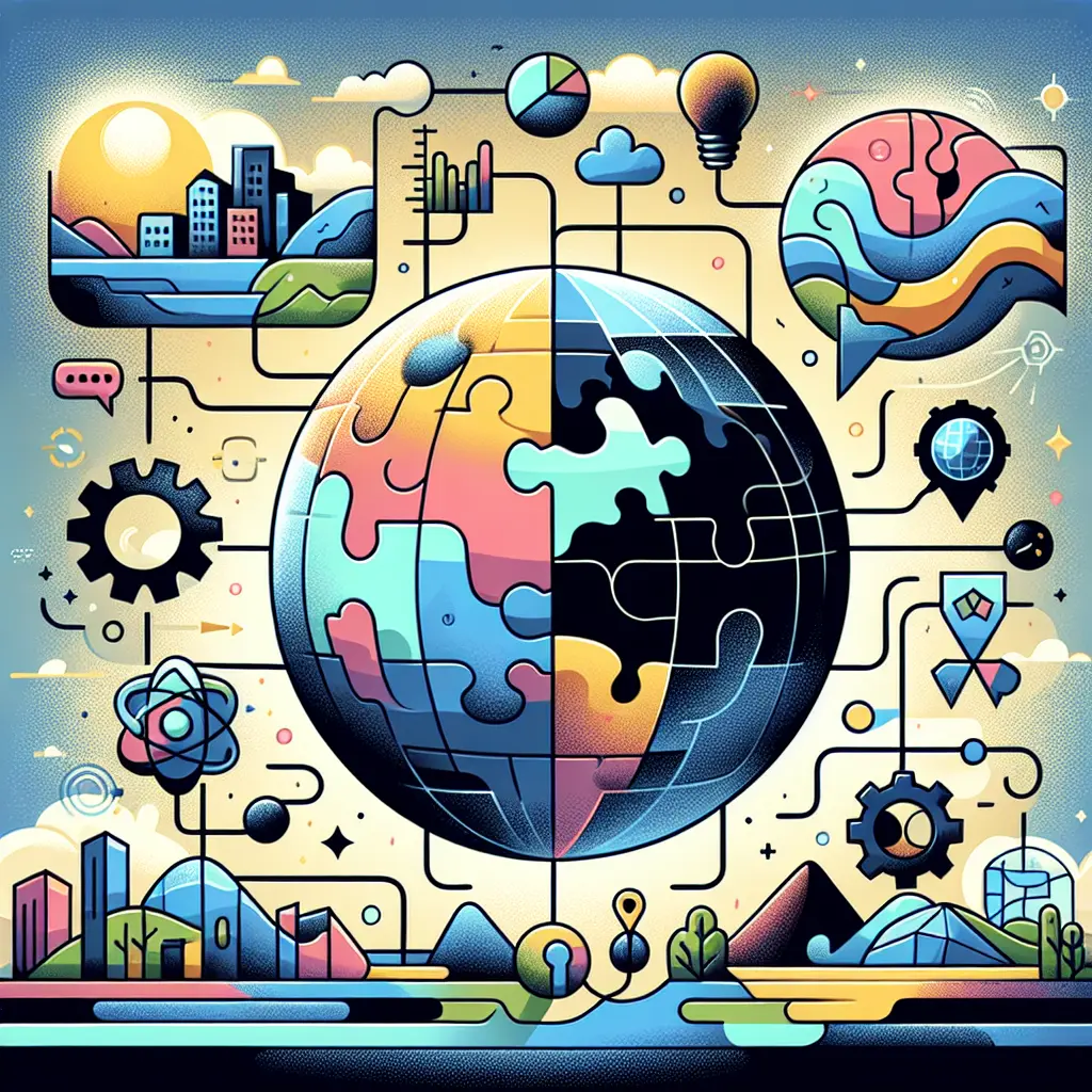
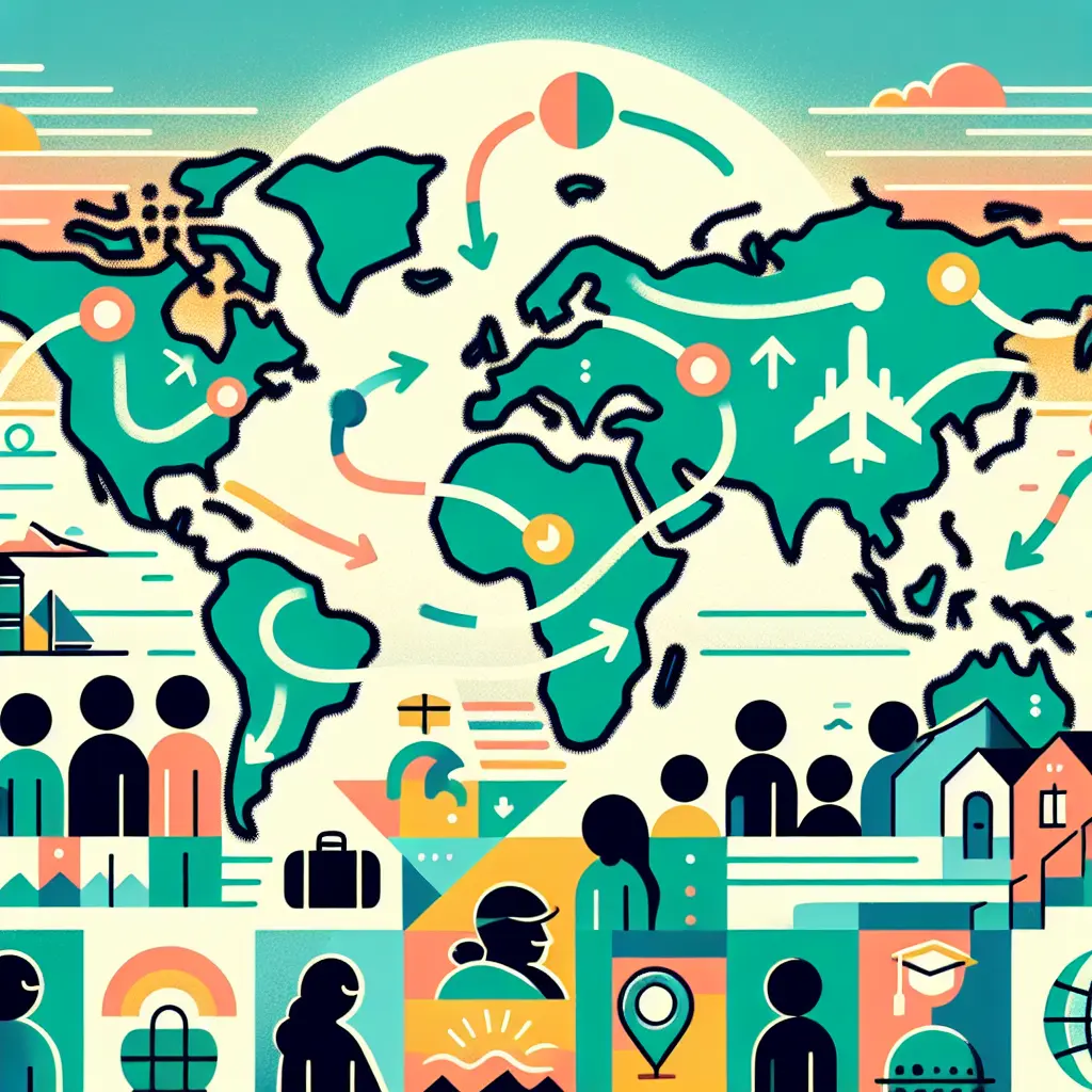
"Maps & Navigation: Comparative & Cross-Disciplinary Connections" explores how mapping and navigation techniques are understood and applied across various fields such as geography, biology, technology, and cultural studies. It emphasizes comparing different methods and perspectives, highlighting how disciplines intersect in understanding spatial orientation, movement, and representation. This approach fosters a broader appreciation of how navigation shapes human experience and knowledge, bridging gaps between scientific, artistic, and social interpretations of space.
Maps & Navigation: Comparative & Cross-Disciplinary Connections
"Maps & Navigation: Comparative & Cross-Disciplinary Connections" explores how mapping and navigation techniques are understood and applied across various fields such as geography, biology, technology, and cultural studies. It emphasizes comparing different methods and perspectives, highlighting how disciplines intersect in understanding spatial orientation, movement, and representation. This approach fosters a broader appreciation of how navigation shapes human experience and knowledge, bridging gaps between scientific, artistic, and social interpretations of space.

💡 Key Takeaways
- Compare mapping approaches across disciplines to reveal diverse spatial insights.
- Understand how GIS, remote sensing, and traditional cartography shape data interpretation.
- Recognize navigation strategies across contexts and the assumptions they encode.
- Practice applying cross-disciplinary map thinking to issues like urban planning, biodiversity tracking, and cultural landscape preservation.
❓ Frequently Asked Questions
What is the core idea of Maps & Navigation across disciplines?
It shows how space is represented and routes are found in geography, biology, technology, and culture. By comparing methods, data sources, and viewpoints, we learn what maps reveal about place, movement, and knowledge.
How have maps evolved from historical to modern digital tools?
Historical maps relied on surveys and travelers’ notes with limited accuracy; modern maps use GIS, satellite imagery, and real-time data, enabling interactive layers and precise spatial analysis.
Where do navigation techniques appear outside geography?
In biology, animals navigate using landmarks, magnetic cues, and chemotaxis; in technology, GPS, SLAM, and pathfinding guide robots and vehicles.
Why do culture and perspective matter in map making?
Maps reflect cultural assumptions—what’s labeled, whose borders are shown, and what is quantified—so cross-disciplinary study reveals biases and supports critical map literacy.
What methods help compare mapping approaches across fields?
Compare purpose, projection, scale, data sources, and accuracy; examine case studies from different disciplines; use cross-disciplinary frameworks to assess strengths and limitations.