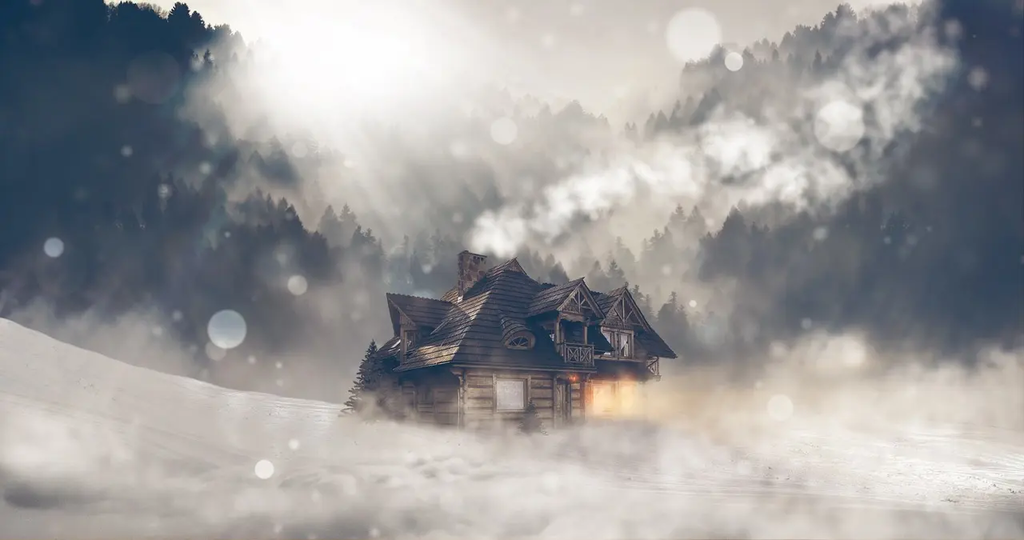
A polar vortex is a large area of low pressure and cold air surrounding the Earth's poles. Occasionally, parts of this frigid air mass can break off and move toward lower latitudes, bringing extreme cold, strong winds, and severe winter weather to regions unaccustomed to such conditions. This phenomenon highlights nature's scary side, as it can disrupt daily life, threaten infrastructure, and pose health risks due to dangerously low temperatures.
Polar Vortex
A polar vortex is a large area of low pressure and cold air surrounding the Earth's poles. Occasionally, parts of this frigid air mass can break off and move toward lower latitudes, bringing extreme cold, strong winds, and severe winter weather to regions unaccustomed to such conditions. This phenomenon highlights nature's scary side, as it can disrupt daily life, threaten infrastructure, and pose health risks due to dangerously low temperatures.
💡 Key Takeaways
- Define what a polar vortex is and where it sits in the atmosphere.
- Explain how the polar jet stream interacts with the vortex to influence winter weather.
- Describe how disruptions to the vortex can lead to cold air outbreaks in mid-latitudes.
- Discuss how climate change may affect the strength and variability of the polar vortex.
❓ Frequently Asked Questions
What is a polar vortex?
A large, persistent circulation of very cold air around the poles that can extend into lower latitudes and influence winter weather.
Where does it form and how does it move?
It forms around the Arctic in the upper and lower atmosphere and normally stays near the poles, but it can wobble or split, sending cold air outward.
How does it affect mid-latitude weather?
If the vortex weakens or becomes displaced, cold Arctic air can spill southward, leading to cold snaps and heavy snow in regions like North America and Europe.
What is the difference between the stratospheric and tropospheric polar vortex?
The stratospheric vortex is higher in the atmosphere and can influence weather after disturbances; the tropospheric vortex is the lower-level flow that drives daily weather.
How is the strength of a polar vortex measured?
Scientists monitor wind speeds and temperature contrasts using satellites and models to gauge how strong or disrupted the vortex is.