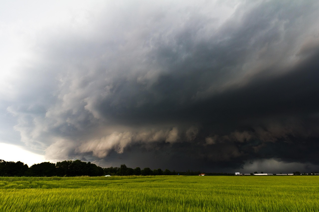
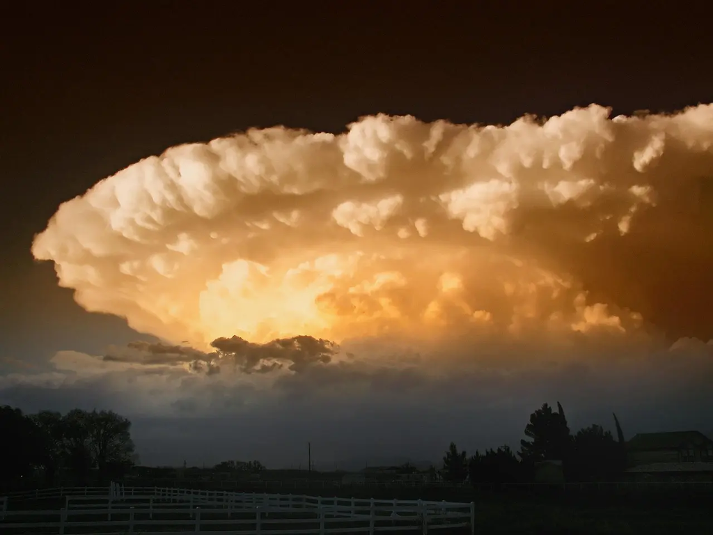
Supercell storms are powerful, rotating thunderstorms known for their intense winds, large hail, and potential to spawn tornadoes. These storms form when warm, moist air rises and interacts with strong wind shear, creating a persistent, spinning updraft called a mesocyclone. Supercells are nature’s scary side because they can cause severe damage, flash flooding, and pose significant threats to life and property, making them some of the most dangerous weather phenomena.
Supercell Storms
Supercell storms are powerful, rotating thunderstorms known for their intense winds, large hail, and potential to spawn tornadoes. These storms form when warm, moist air rises and interacts with strong wind shear, creating a persistent, spinning updraft called a mesocyclone. Supercells are nature’s scary side because they can cause severe damage, flash flooding, and pose significant threats to life and property, making them some of the most dangerous weather phenomena.
💡 Key Takeaways
- Identify what makes a supercell storm unique, including a rotating updraft (mesocyclone).
- Recognize the main hazards of supercells (large hail, damaging winds, and potential tornadoes).
- Learn how meteorologists detect and forecast supercells using radar patterns and key atmospheric factors (instability, wind shear, moisture).
- Understand the typical life cycle of a supercell and basic safety steps during severe weather.
❓ Frequently Asked Questions
What is a supercell storm?
A type of thunderstorm with a long-lived, rotating updraft (mesocyclone) that often produces severe weather such as large hail, damaging winds, and sometimes tornadoes.
What is a mesocyclone and why is it important?
A rotating updraft inside the storm. Its rotation helps organize the storm and increases the likelihood of severe weather, including tornado formation.
What hazards are commonly associated with supercells?
Large hail, destructive winds, tornadoes, and heavy rainfall that can cause flash flooding.
How can meteorologists tell a storm is a supercell?
By the presence of a persistent rotating updraft (mesocyclone), a recognizable radar signature, and a well-structured storm with clear features like a rear-flank downdraft.
What atmospheric conditions favor supercell development?
High instability (CAPE), sufficient moisture, and strong vertical wind shear, often with a triggering mechanism like a cold front or dryline.