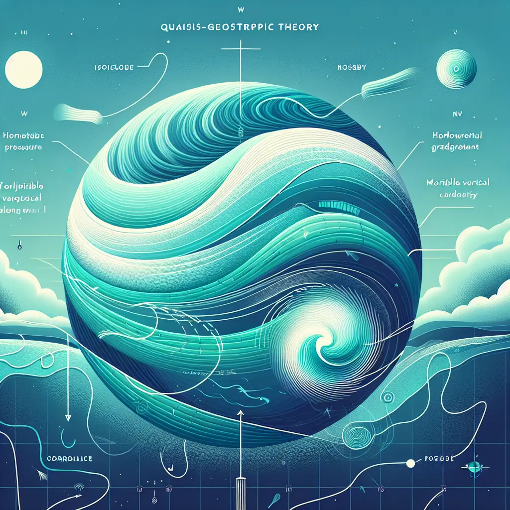
Weather maps and symbols are tools used by meteorologists to visually represent atmospheric conditions over a specific area. These maps display information such as temperature, precipitation, wind direction, and pressure systems using standardized symbols and colors. Common symbols include sun, clouds, rain, snow, and fronts, making it easier for viewers to quickly interpret weather patterns and forecasts. Weather maps help communicate complex data in a clear, accessible format for both experts and the public.
Weather Maps and Symbols
Weather maps and symbols are tools used by meteorologists to visually represent atmospheric conditions over a specific area. These maps display information such as temperature, precipitation, wind direction, and pressure systems using standardized symbols and colors. Common symbols include sun, clouds, rain, snow, and fronts, making it easier for viewers to quickly interpret weather patterns and forecasts. Weather maps help communicate complex data in a clear, accessible format for both experts and the public.
💡 Key Takeaways
- Identify common weather map symbols (sun, clouds, rain, snow) and their meanings.
- Read map data for temperature, precipitation, wind, and pressure.
- Understand isobars, fronts, and pressure systems and how they shape weather.
- Interpret color scales and legends for temperature and precipitation.
- Use weather maps to describe current conditions and short-term forecasts.
❓ Frequently Asked Questions
What is a weather map?
A weather map visually shows atmospheric conditions over a region using symbols and colors to represent temperature, precipitation, wind, and pressure, helping meteorologists analyze current weather and forecast changes.
What do common symbols on weather maps mean?
Symbols like the sun (clear), a cloud (cloudy), raindrops (rain), a snowflake (snow), or a thunderbolt (storm) indicate weather conditions; colors and symbols may combine to show intensity and type.
How is wind represented on weather maps?
Wind direction is shown with wind barbs or arrows; wind speed is indicated by the length and markings on the barb.
What are isobars and how do they relate to weather maps?
Isobars are lines that connect points of equal atmospheric pressure; highs (H) and lows (L) mark pressure centers, and the spacing of isobars indicates pressure gradients and potential wind.
How are temperatures and precipitation shown on weather maps?
Temperatures may be labeled or shown with color gradients; precipitation is indicated by symbols or shaded areas that reflect type (rain, snow) and intensity.