Remote sensing: Radar polarimetry is a technique that uses radar systems to measure and analyze the polarization of electromagnetic waves reflected from the Earth's surface. By transmitting and receiving signals in different polarization states, it provides detailed information about surface properties, such as texture, structure, and moisture content. This enhances the ability to distinguish between various land cover types, monitor environmental changes, and improve mapping accuracy in applications like agriculture, forestry, and disaster management.
Remote Sensing: Radar Polarimetry
Remote sensing: Radar polarimetry is a technique that uses radar systems to measure and analyze the polarization of electromagnetic waves reflected from the Earth's surface. By transmitting and receiving signals in different polarization states, it provides detailed information about surface properties, such as texture, structure, and moisture content. This enhances the ability to distinguish between various land cover types, monitor environmental changes, and improve mapping accuracy in applications like agriculture, forestry, and disaster management.

💡 Key Takeaways
- Understand how radar polarization states reveal different information about the Earth's surface.
- See how surface roughness, moisture, and vegetation affect polarimetric radar backscatter.
- Learn to interpret polarimetric data to distinguish surface, double-bounce, and volume scattering.
- Explore real-world uses in weather, climate, and disasters (e.g., rainfall estimation, soil moisture, flood mapping, burn severity) and note data requirements and limitations.
❓ Frequently Asked Questions
What is radar polarimetry?
Radar polarimetry is a remote-sensing technique that transmits and receives radar signals in multiple polarization states to extract richer information about surfaces and targets than single-polarization radar.
What information can polarization reveal about Earth's surfaces?
Polarization helps infer surface properties such as roughness, moisture, dielectric characteristics, structure, and vegetation, aiding better surface classification.
What polarization channels are commonly measured in polarimetric radar?
Common channels include HH and VV (co-polar) and HV and VH (cross-polar); full-polarimetric systems capture all four.
How does radar polarimetry support weather and climate studies?
It provides insights into precipitation microphysics and storm structure by analyzing how different particles scatter radar waves, improving rainfall estimates and atmospheric characterization.
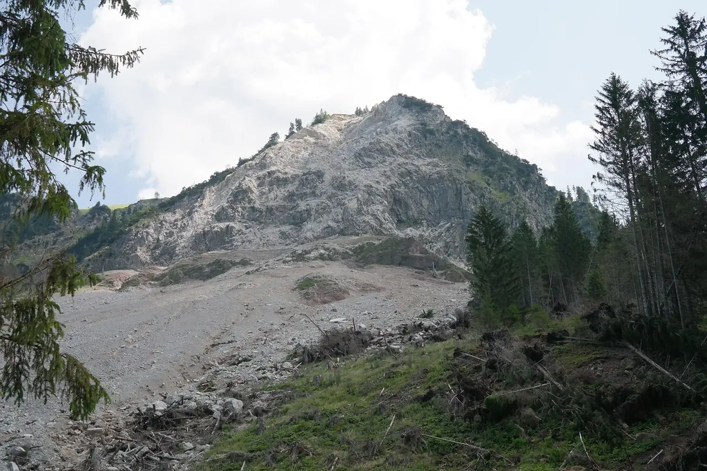
How can polarimetric radar assist in disaster monitoring?
By exploiting polarization differences, it enhances mapping of floods, wildfires, landslides, and snow/ice changes, enabling faster damage assessment and response.