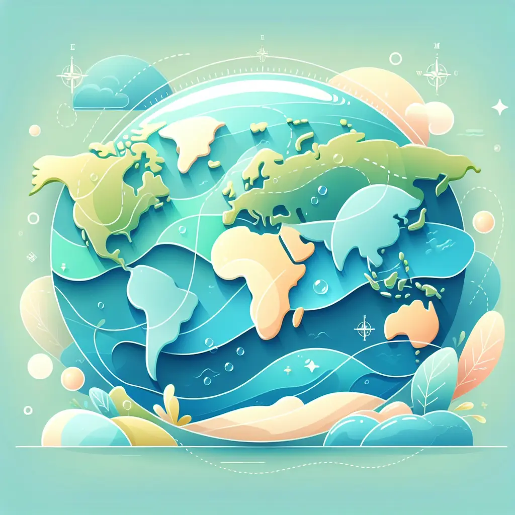
The phrase "World Map: Continents and Oceans Review" refers to an educational overview or assessment focused on identifying and understanding the Earth's major landmasses and bodies of water. It typically involves recognizing the seven continents—Africa, Antarctica, Asia, Europe, North America, Oceania (Australia), and South America—and the five oceans—Atlantic, Pacific, Indian, Arctic, and Southern—on a world map, reinforcing geographic knowledge and spatial awareness.
World Map: Continents and Oceans Review
The phrase "World Map: Continents and Oceans Review" refers to an educational overview or assessment focused on identifying and understanding the Earth's major landmasses and bodies of water. It typically involves recognizing the seven continents—Africa, Antarctica, Asia, Europe, North America, Oceania (Australia), and South America—and the five oceans—Atlantic, Pacific, Indian, Arctic, and Southern—on a world map, reinforcing geographic knowledge and spatial awareness.
💡 Key Takeaways
- Identify and name the seven continents and five oceans.
- Locate each continent and ocean on a world map using basic directions (north, south, east, west).
- Explain how continents and oceans relate to one another geographically (adjacent lands, borders, major seas).
- Differentiate between landmasses and bodies of water using simple map features.
❓ Frequently Asked Questions
What are the seven continents?
Africa, Antarctica, Asia, Europe, North America, South America, and Oceania (often called Australia).
What are the five oceans?
Pacific Ocean, Atlantic Ocean, Indian Ocean, Southern Ocean, and Arctic Ocean.
How can you tell continents from oceans on a world map?
Continents are large landmasses; oceans are the vast bodies of saltwater between them. Maps label and color-land areas differently from water bodies to distinguish them.
What is the difference between a continent and an ocean?
A continent is a large land area, while an ocean is a huge expanse of saltwater that covers much of Earth’s surface.